North Yorkshire Council’s Archive service has a really nice post up on the history of Lead Mining in the Yorkshire Dales.
A Little More Web Kipple
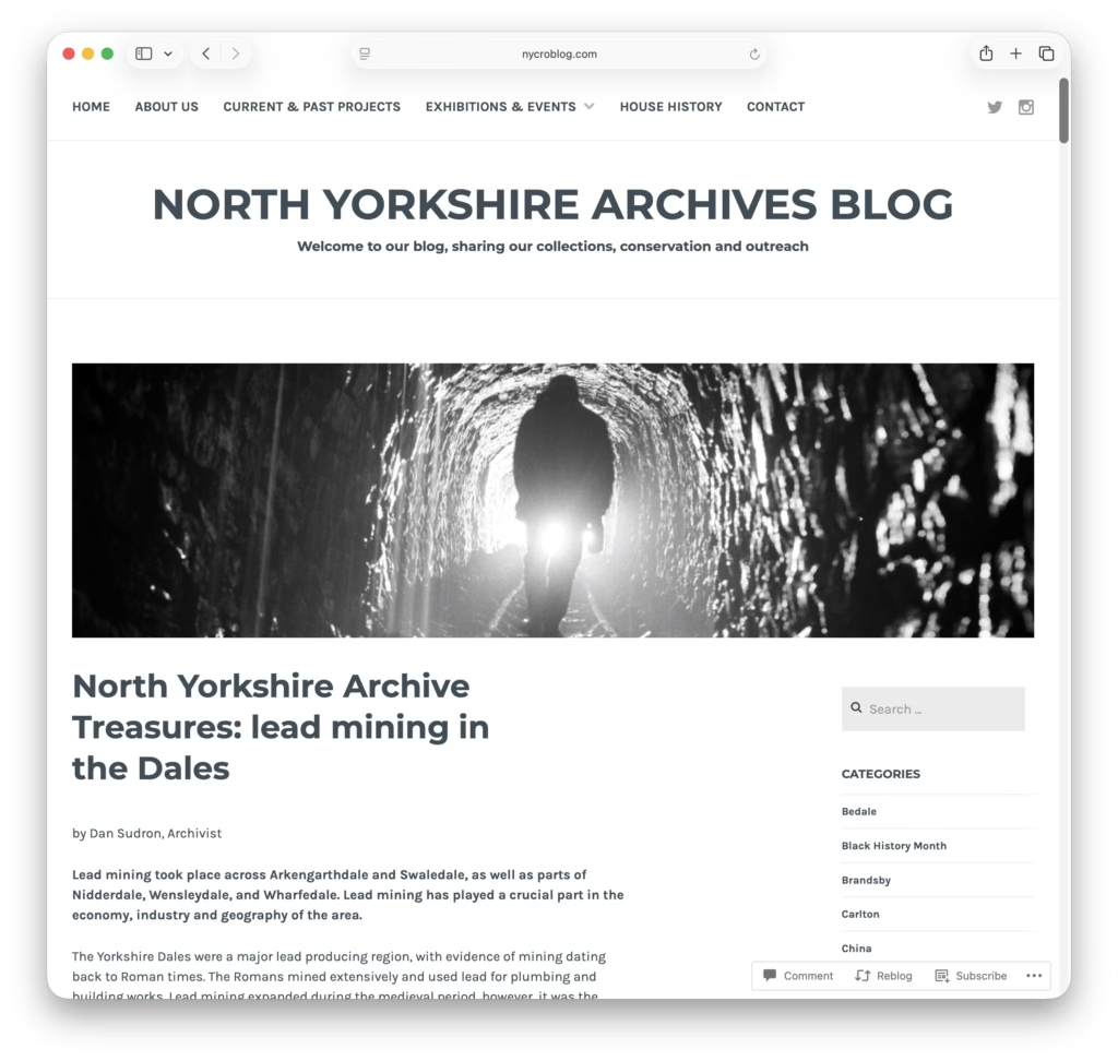
North Yorkshire Council’s Archive service has a really nice post up on the history of Lead Mining in the Yorkshire Dales.

FastCompany has a really nice article on Apple’s early history.
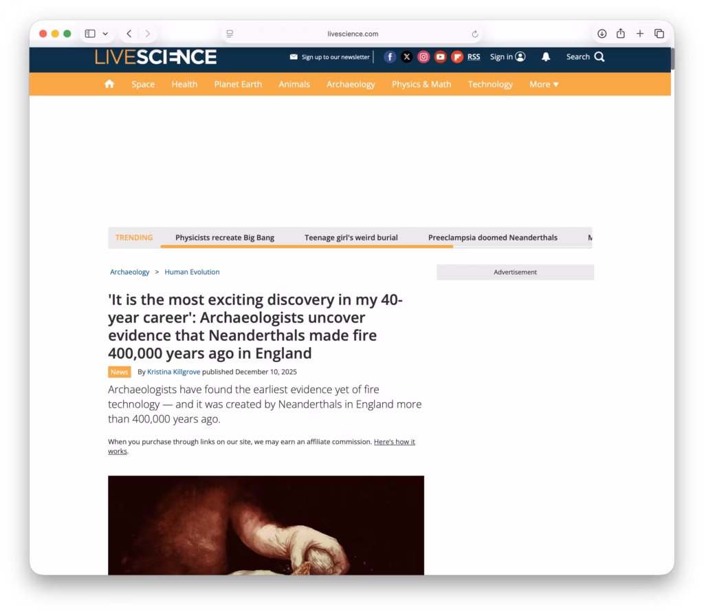
LiveScience has a nice article on the earliest discovery of human-controlled fire creation technology. Apparently 400,000 years ago the good people of Suffolk liked to sit around a nice warm fire!
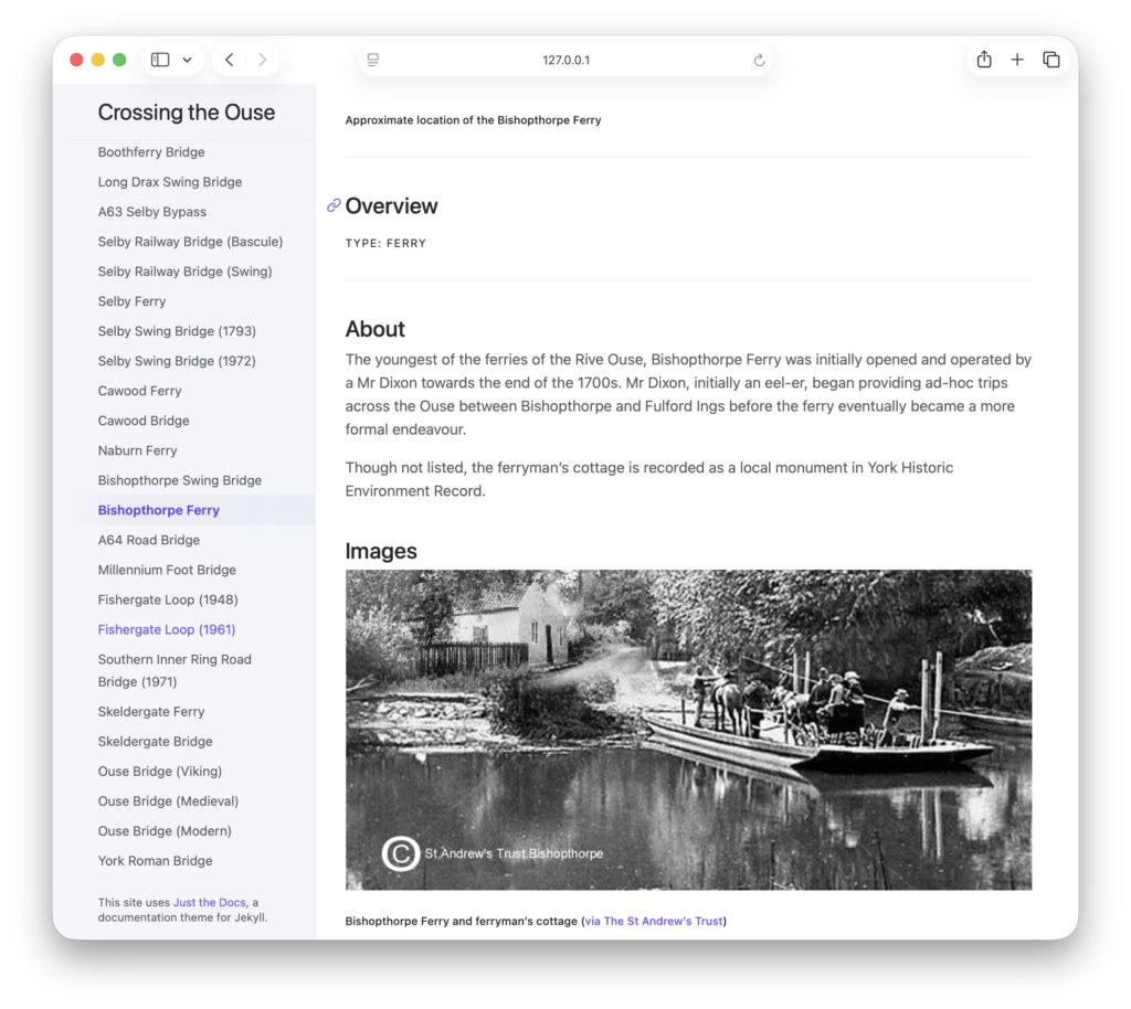
I’ve just added a new page on the Bishopthorpe Ferry to ‘Crossing the Ouse‘. Why not go and have a look?
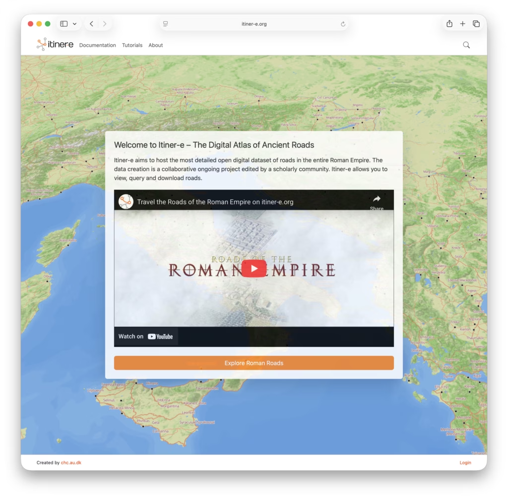
Itiner-e is a really nice open dataset and atlas of Roman roads. It’s interesting to look at where the paths of the Roman roads have survived long enough to become the foundations of today’s major routes.
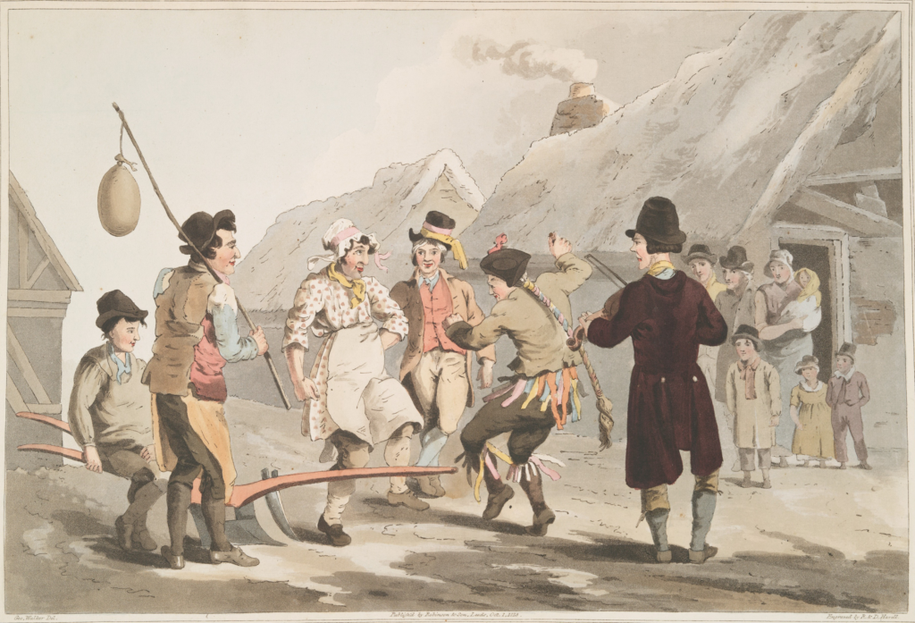
Happy Plough Monday folks!
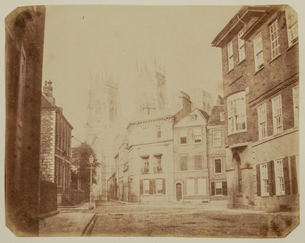
Whilst poking around on Getty.edu’s art search site I managed to stumble on this fascinating but sadly poor photograph of what is now the junction between Museum Street, St Leonard’s Place, Duncombe Place, and Blake Street. The photos current location can be seen on the StreetView below.
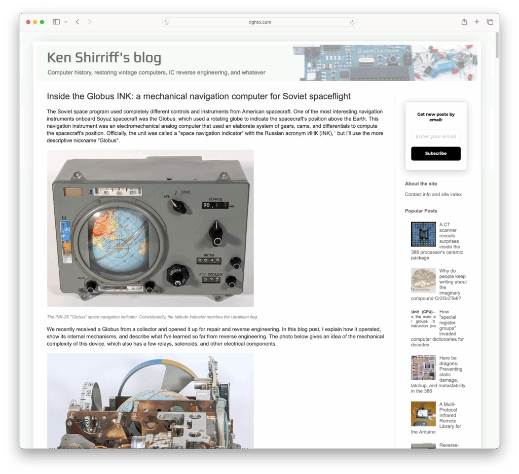
Continue reading “York Minster from Lop Lane”Righto.com has a rather delightful introduction to and teardown of a Globus INK – a Soviet-era mechanical navigation aid for spaceflight.
A NASA animation of the FAA’s continental US flight logs from the morning of September 11th, 2001.
24 bloody years…
So this lunchtime Period Sites in Period Browsers (PSPB) threw up an interesting bit of history – a brief overview of Netscape Navigator users circa 1996.