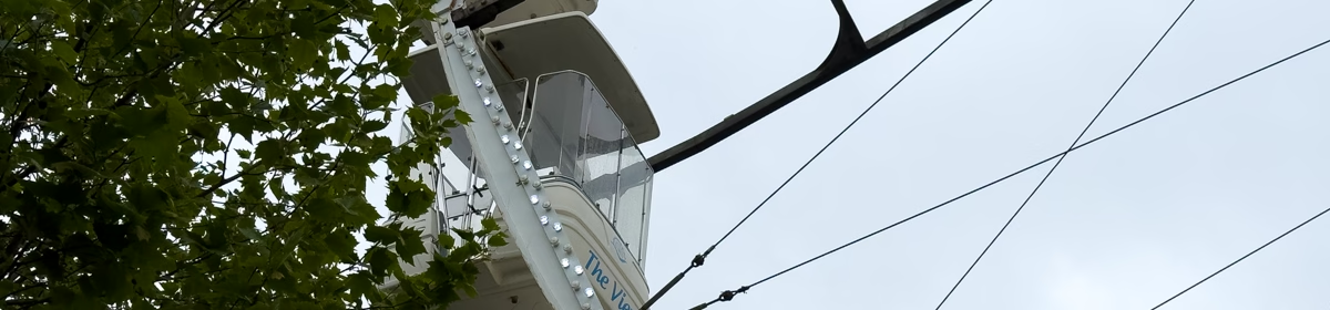
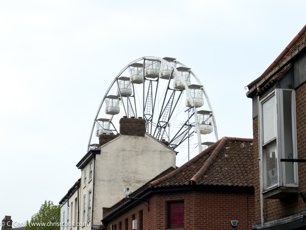
The York Wheel is back! The York Wheel is back! And here are a set of photos to prove it!
A Little More Web Kipple
The York Wheel is back! The York Wheel is back! And here are a set of photos to prove it!
And now for a slightly different tour of old York – York as seen by a visiting artist.
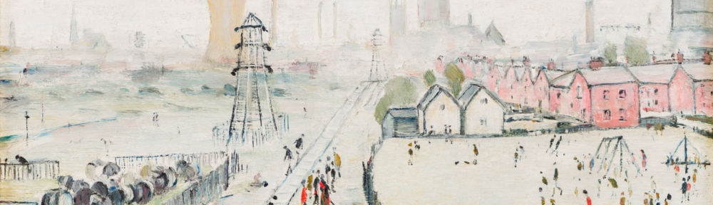
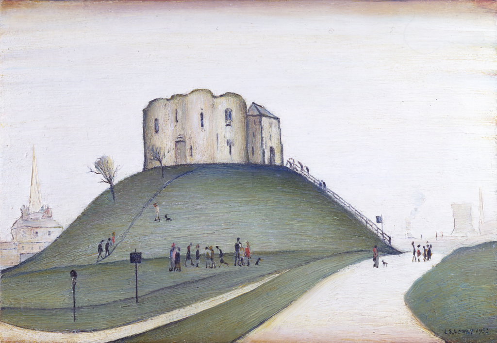
In 1952 the curator of York Art Gallery – Hans Hess – approached L. S. Lowry to paint a scene of York for the annual Evelyn Award. For this Lowry would be awarded the princely sum of £50 or – in 2025 money – around £1,250.
In the end, Lowery was to paint three images of York; two he offered to the art gallery to select from – ‘Clifford’s Tower, York‘ and ‘A View of York (from Tang Hall Bridge)‘ – and a third – ‘Wilson’s Terrace‘ – that he sold on to a private collector.
Of the two images offered to York Art Gallery, they selected ‘Clifford’s Tower, York‘ which, as of writing, can currently be seen in one of the upper galleries.
Ethel Walker’s Robin Hood’s Bay in Winter.It seems to be on permanent exhibition at York Art Gallery and, I must note, looks better in person.
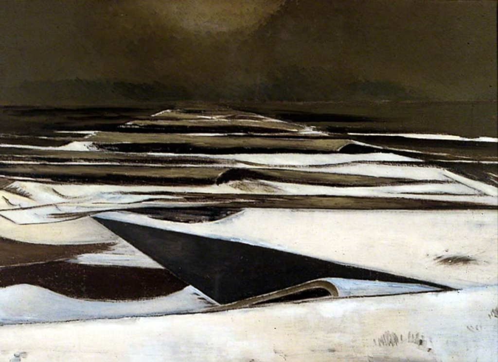
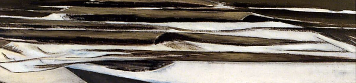
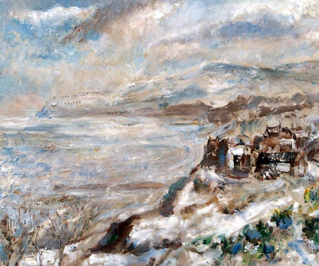
Paul Nash’s Winter Sea. Painted between 1925 and 1937.
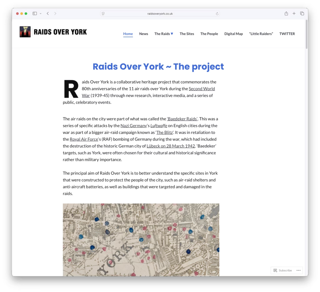
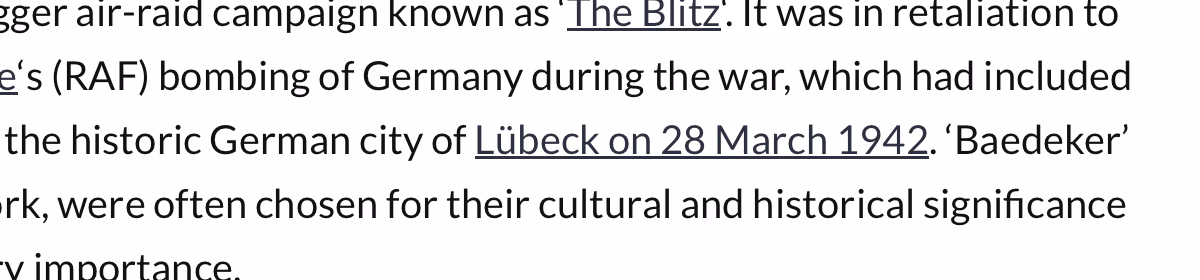
‘Raids over York‘ is an interesting and detailed view of the Baedeker air raids on York.
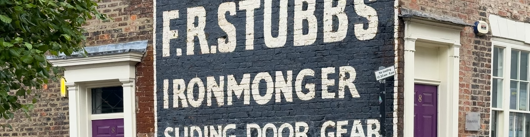
Continue reading “The ‘Baedeker’ Raids over York”While I’ve mentioned F. R. Stubbs before, I don’t think I’ve actually posted the Stubbs ghost sign that sits on the corner of Merchantgate and Walmgate.

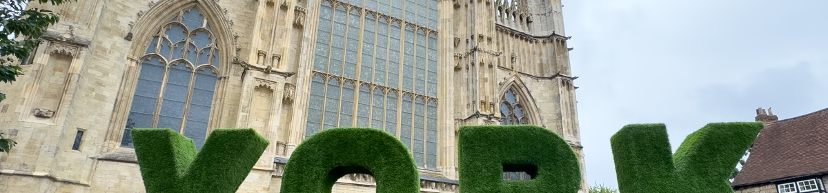
The ‘York’ sign at the east end of York Minster
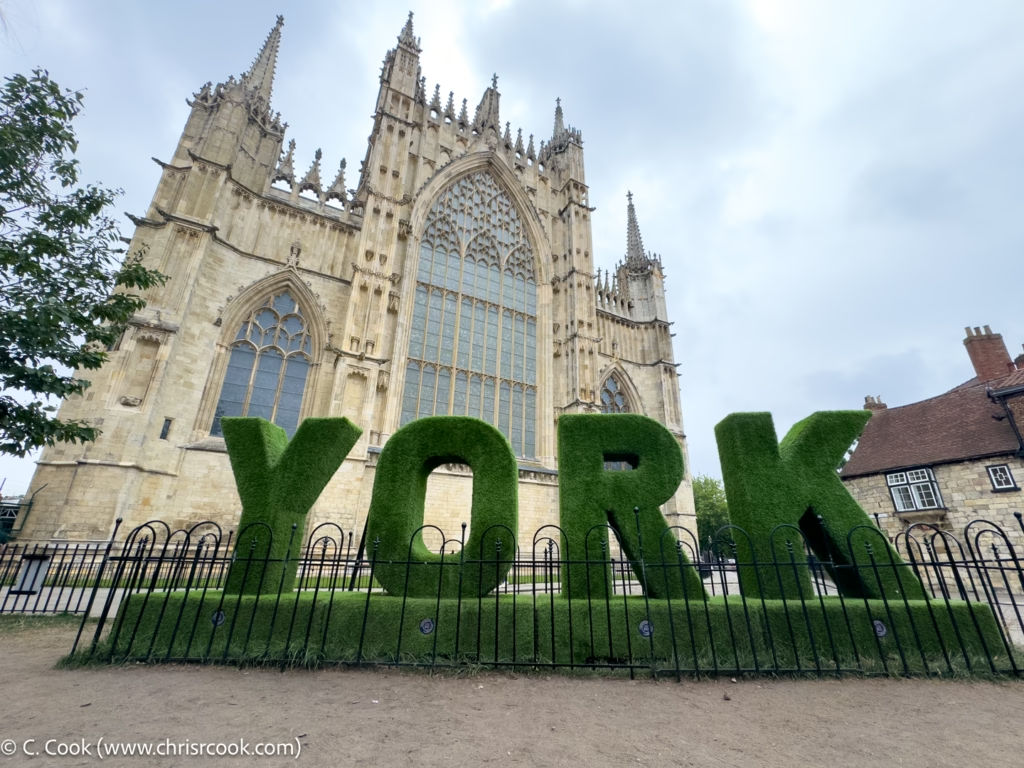
Tis a shame it’s made of Astroturf tho’.
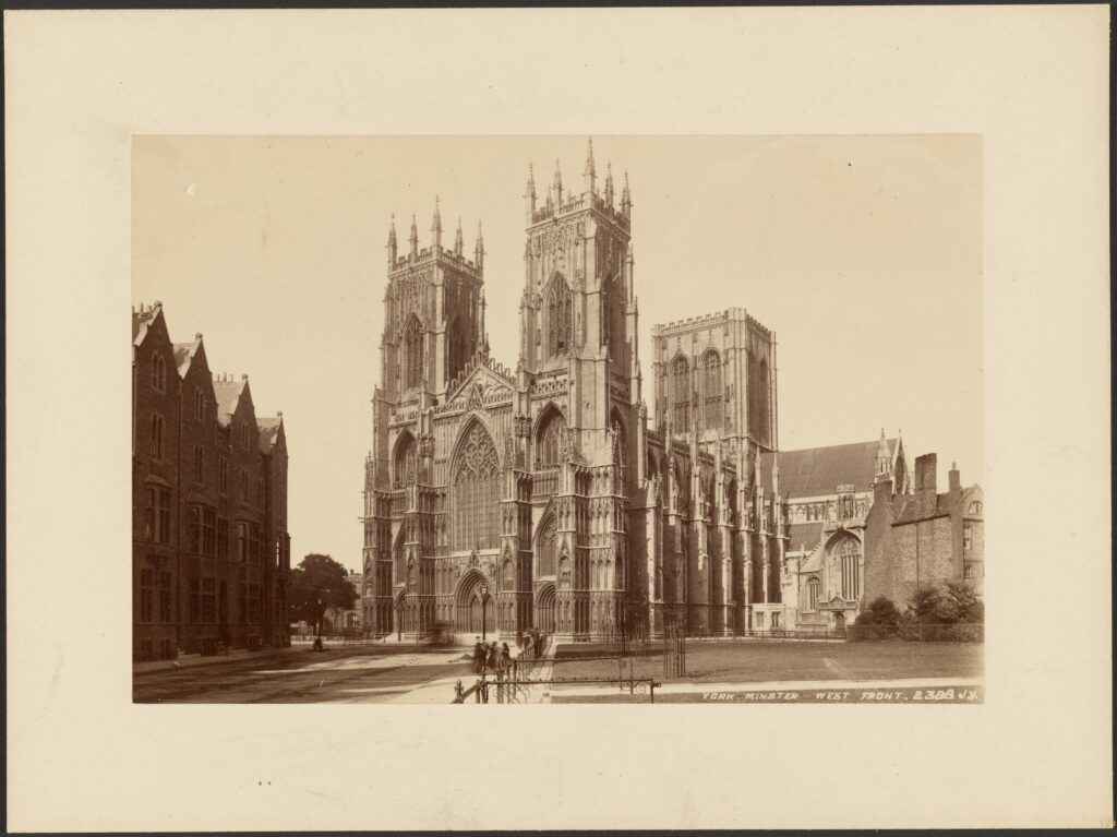
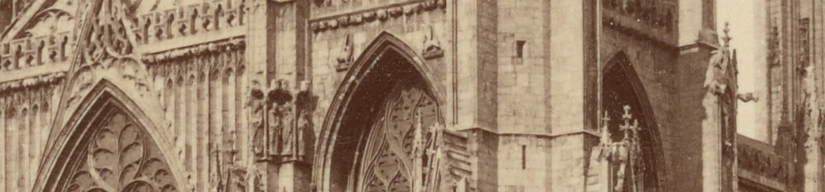
An old photo of what was, back then, a rather new view.
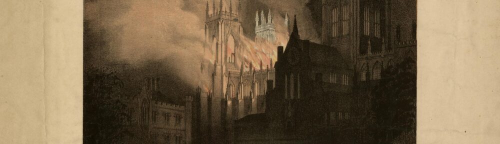
Continue reading “York Minster, West Front / James Valentine (between 1860 and 1879)”It’s the 185th anniversary of the fire at York Minster on 20th May, 1840 and here’s a print to mark the occasion!
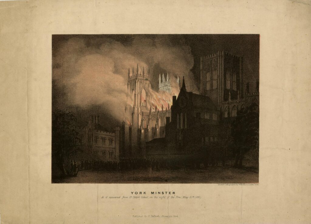
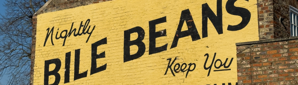
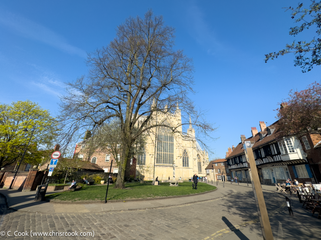
A few little pictures of York in the April sun – including the now obligatory shot of the Bile Beans sign.
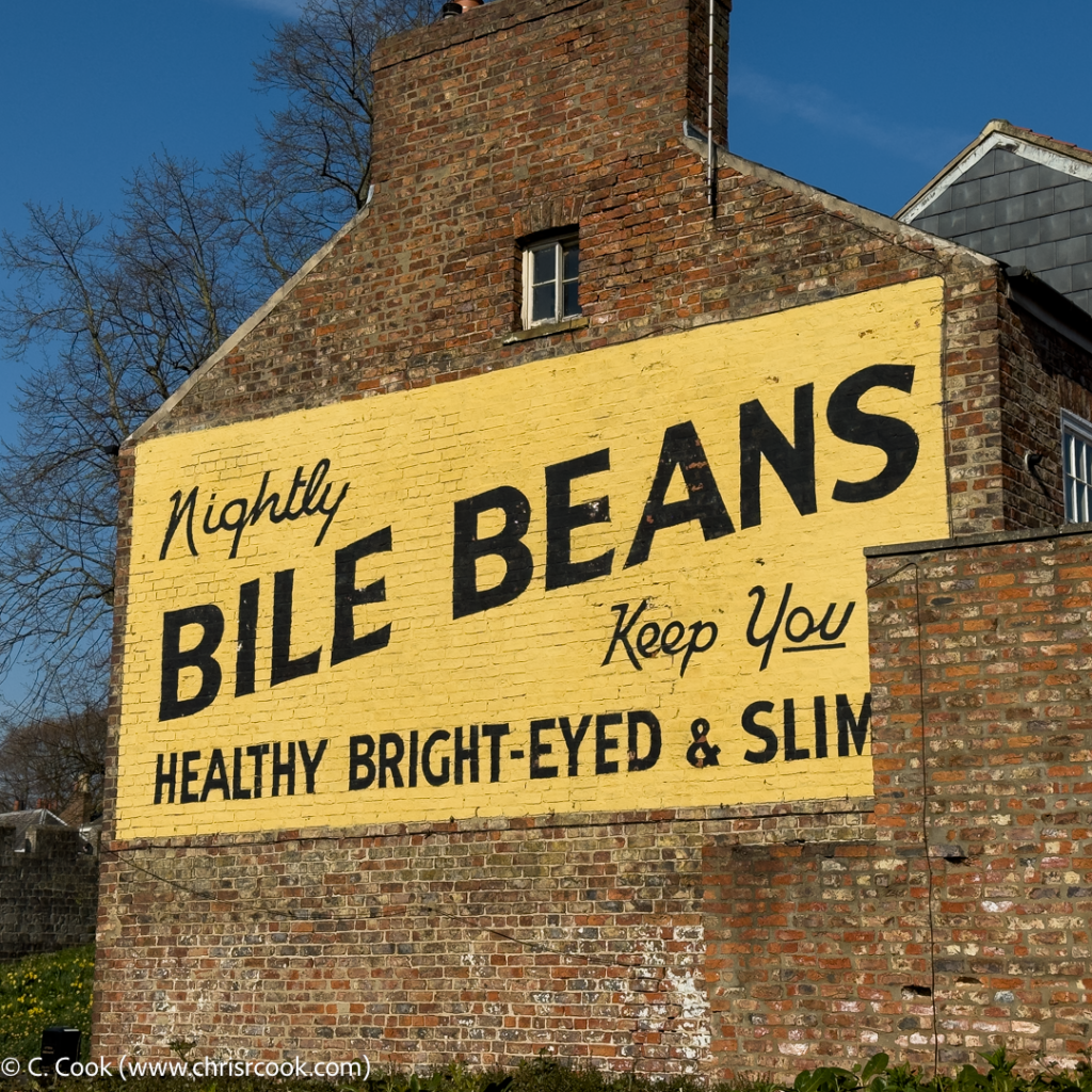
The Bile Beans sign on Lord Mayor’s Walk.
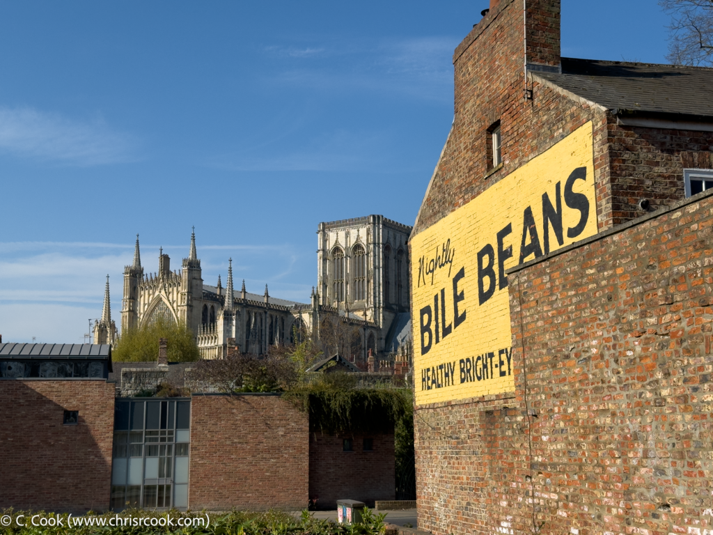
Bile Beans and York Minster
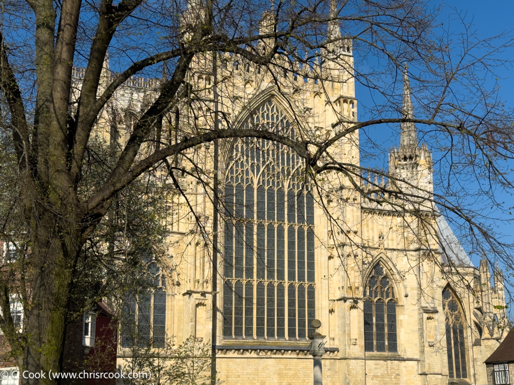
The west end of York Minster.
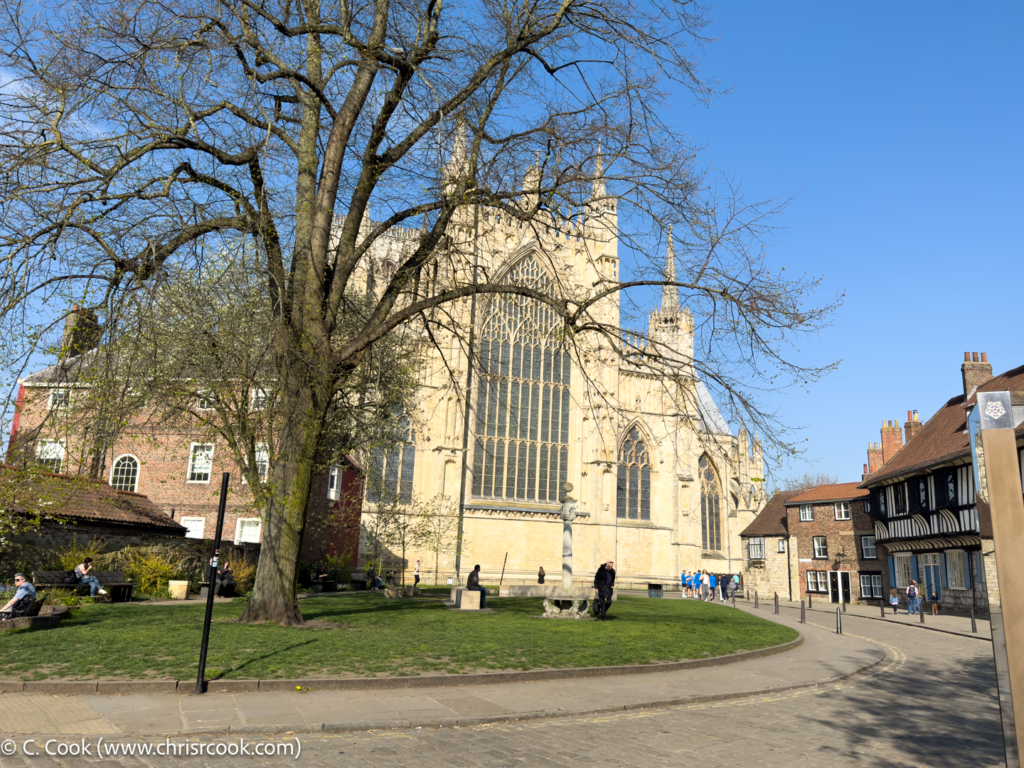
The west end of York Minster with College Street.
The west end of York Minster with College Street.
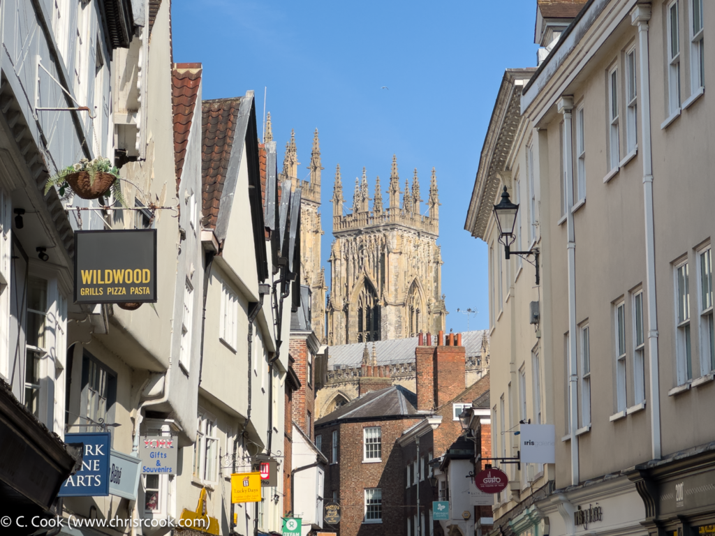
York Minster from Low Petergate.
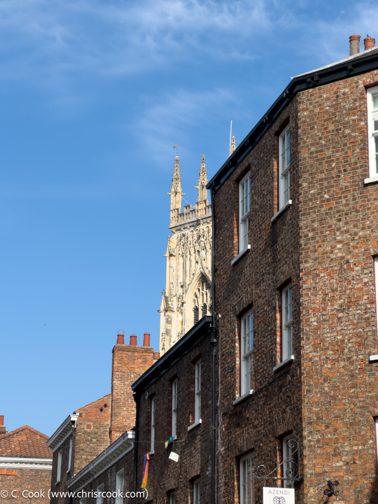
York Minster from Low Petergate.
Gallery: 2025 Misc.