Not quite a Tour of Old York but, whilst scrabbling around in the Internet Archives library, I came across two rather wonderful illustrations of the first York station and the sidings that used to extend towards Lendal Bridge.
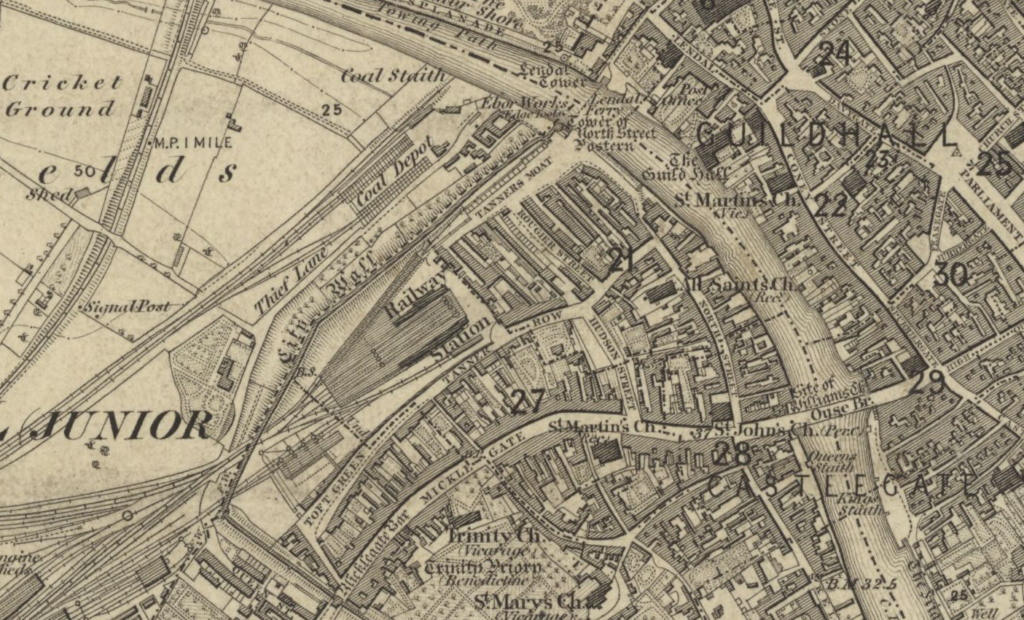
If you’re not familiar with the location of the first York station, then the map above should help to contextualise the station’s location relative to both the city walls and to the rive Ouse itself.
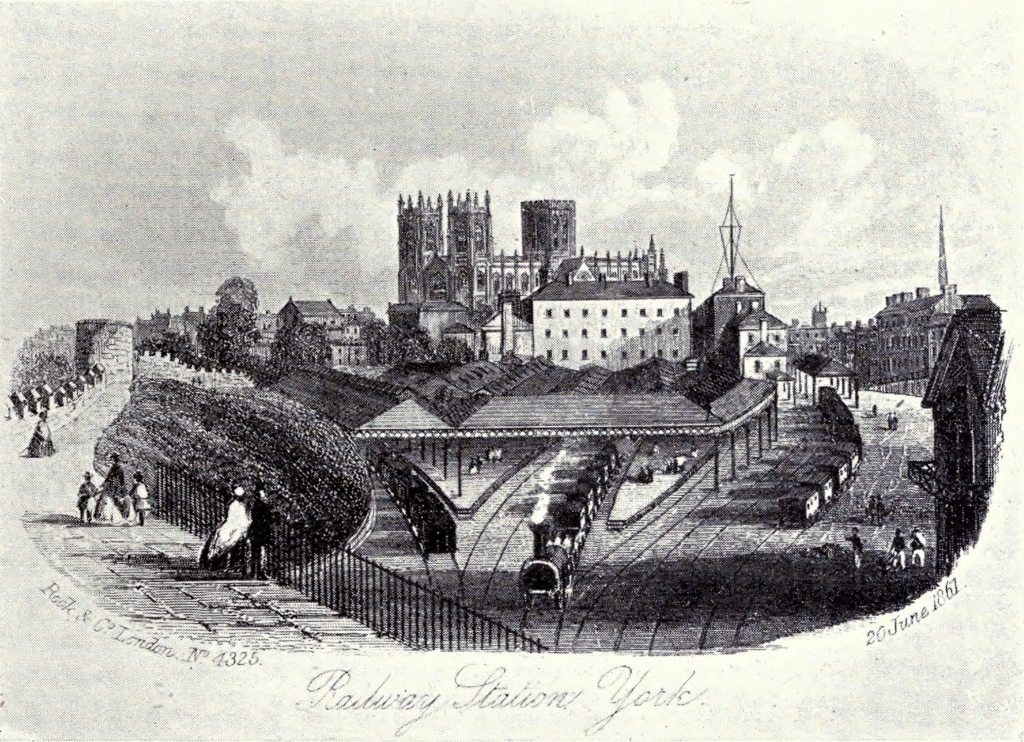
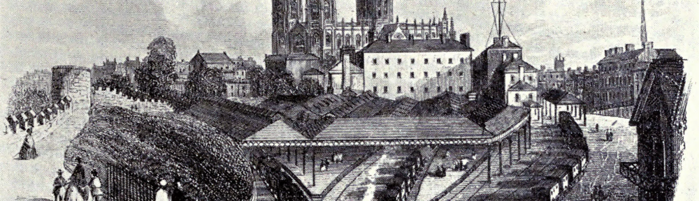
Sat just inside the city walls – with track access provided by two portals that punched through the old walls – this June 20th, 1867 illustration of York’s first station captures it in it’s heyday. The large white building behind the station was not the station hotel (which can actually be seen to the right of it) but a malthouse of a local brewery.

This 20th March, 1866 print of the east end of the station sidings and the then recently constructed Lendal Bridge. It also (on the left) contains one of the few illustrations of the now-demolished Tower 18 of the City Walls.
Both of these lovely prints come from the Internet Archives’ copy of “The North Eastern Railway – Its Rise and Development“.