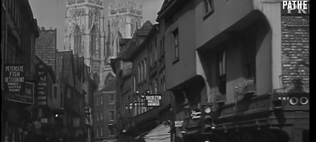
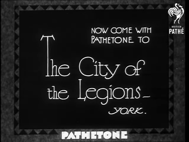
And onto another Tour of Old York. This time our video comes courtesy of the British Pathe YouTube channel and brings us two and one quarter minutes of footage of York shot between 1930 to 1939.
‘The City of Legions – York’
A Little More Web Kipple
And onto another Tour of Old York. This time our video comes courtesy of the British Pathe YouTube channel and brings us two and one quarter minutes of footage of York shot between 1930 to 1939.
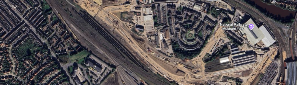
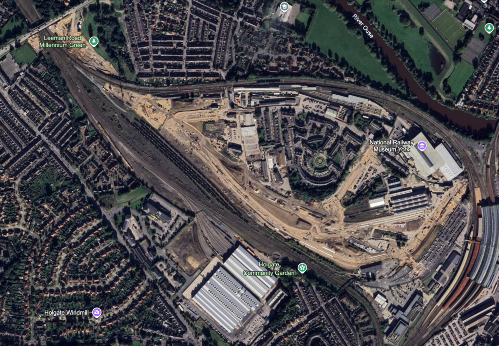
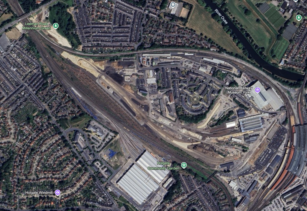
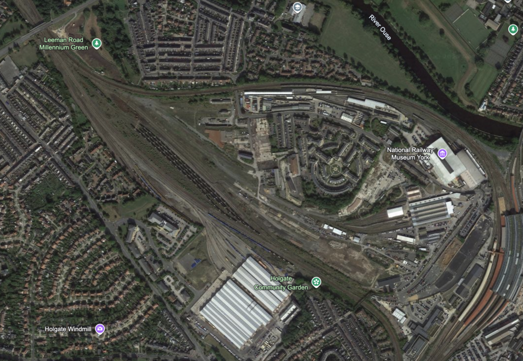
It looks like Google Earth’s satellite view has updated to show some of the new work around the York Central development. The latest imagery is, as of writing, still about six months out of date – but you can really see how the area is starting to change in comparison to 2023 and 2022.
September 28th, 2024
June 16th, 2023
September 13th, 2022
The autumn trailer for York Art Gallery. The William Morris exhibit looks like it should be interesting.
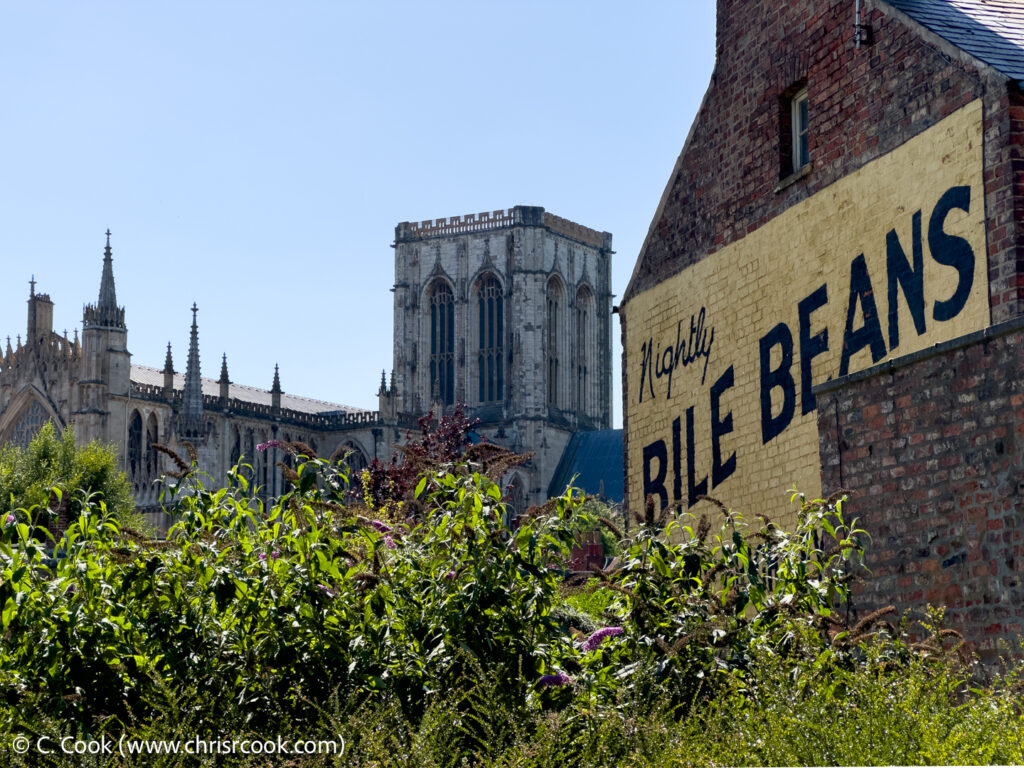
York Minster with the Bile Beans sign, August 2024
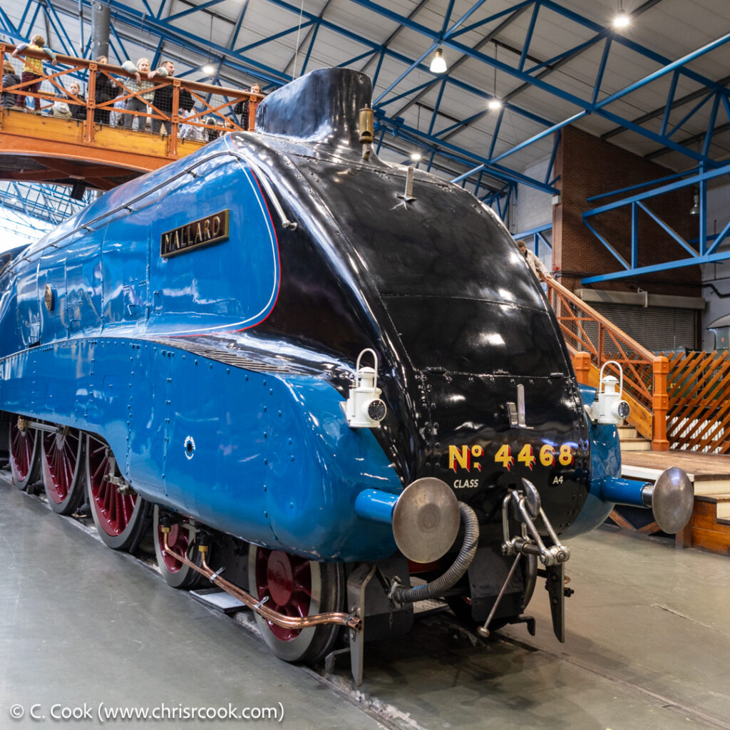
It’s been a little while since I last added any photographs, however you can now find a selection of images from at May 2024 trip to The National Railway Museum here!
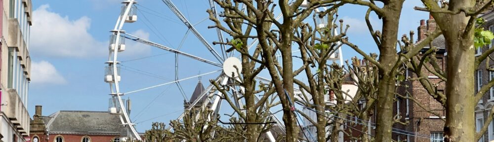
It looks like the giant ferris wheel is back in York!
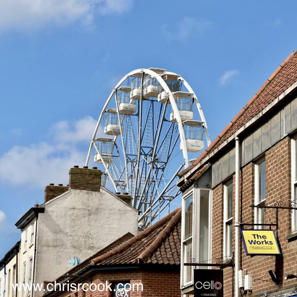
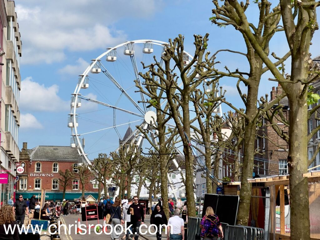
Though I’ve not yet been around it, Saint Sampson’s Square does feel like a good spot for it.
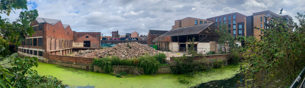
A couple of shots of what remains of the Banana Warehouse on Piccadilly. When I was younger I used to be fascinated by the Sinclair C5 that used to sit on the pavement outside. Apparently it was later moved out of the elements and onto a shelf inside the building.
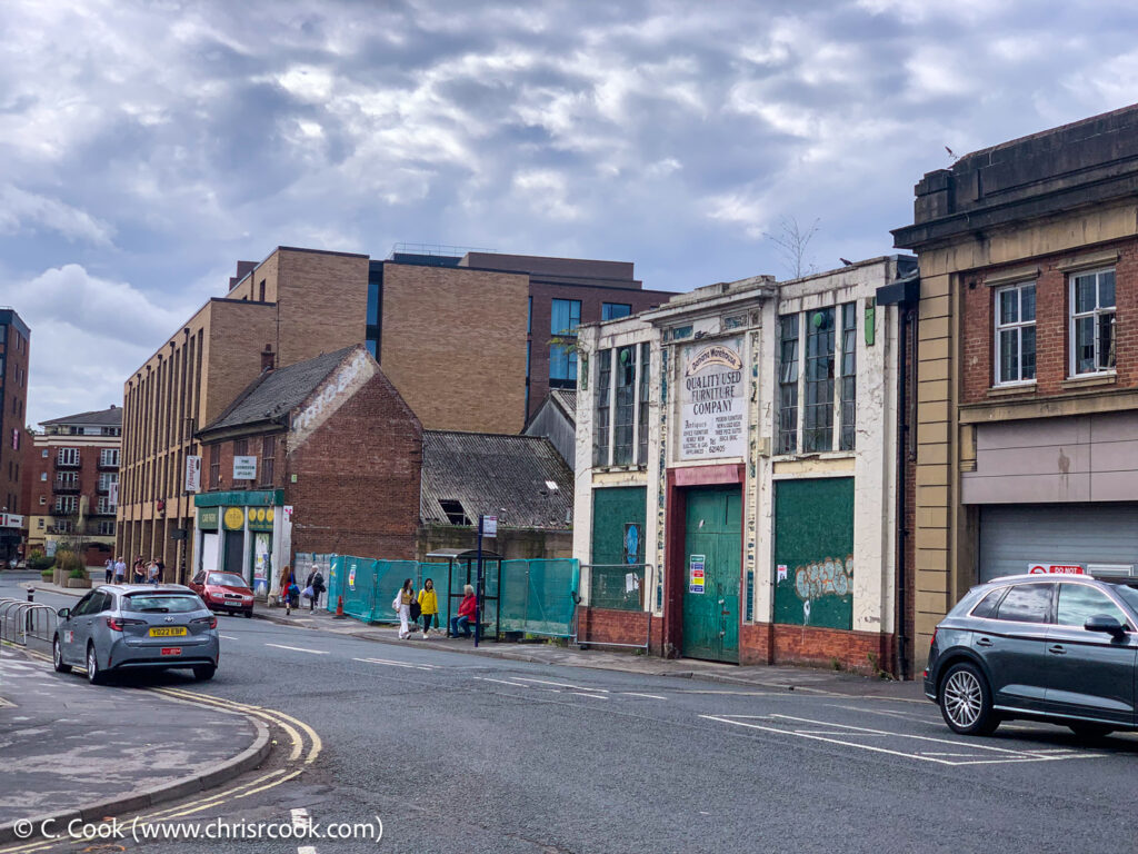
The car park to the left has already gone.
Continue reading “The Banana Warehouse Demolition”And, having found another old video of York on YouTube, it’s time for another Tour of Old York. Alas, the the YouTube video doesn’t seem to be embeddable on any old random website but – in better news – it does seem to be tagged with a permissive licence that allows me to rehost it here…
York in flood during (apparently) the late 70s. At about 30 seconds in there’s a lovely shot of a very wet pre-flood defence Marygate. Later on, at around one minute forty, you get a shot along Wellington Row and across the River – notably showing the build that there before the construction of the General Accident (now Aviva) Building. There are also some nice shots of The Kings Arms and the bottom of the Museum Gardens in flood.