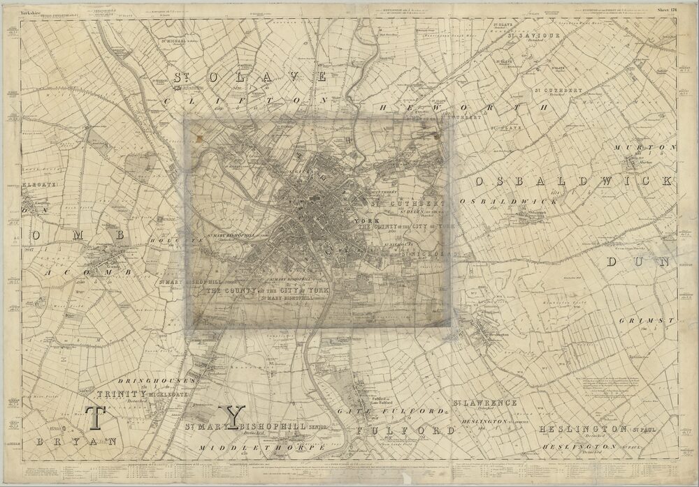
So I’ve added 561 additional map images of Durham from the ‘Ordnance Survey Maps – Six-inch England and Wales, 1842-1952’ series.
Interesting places covered this update include:


And, of course, Durham itself.

A Little More Web Kipple
Maps! See the link to ‘Chris’ Maps Stuff’ on the right for an entire site of Maps!
So I’ve added 561 additional map images of Durham from the ‘Ordnance Survey Maps – Six-inch England and Wales, 1842-1952’ series.
Interesting places covered this update include:
And, of course, Durham itself.
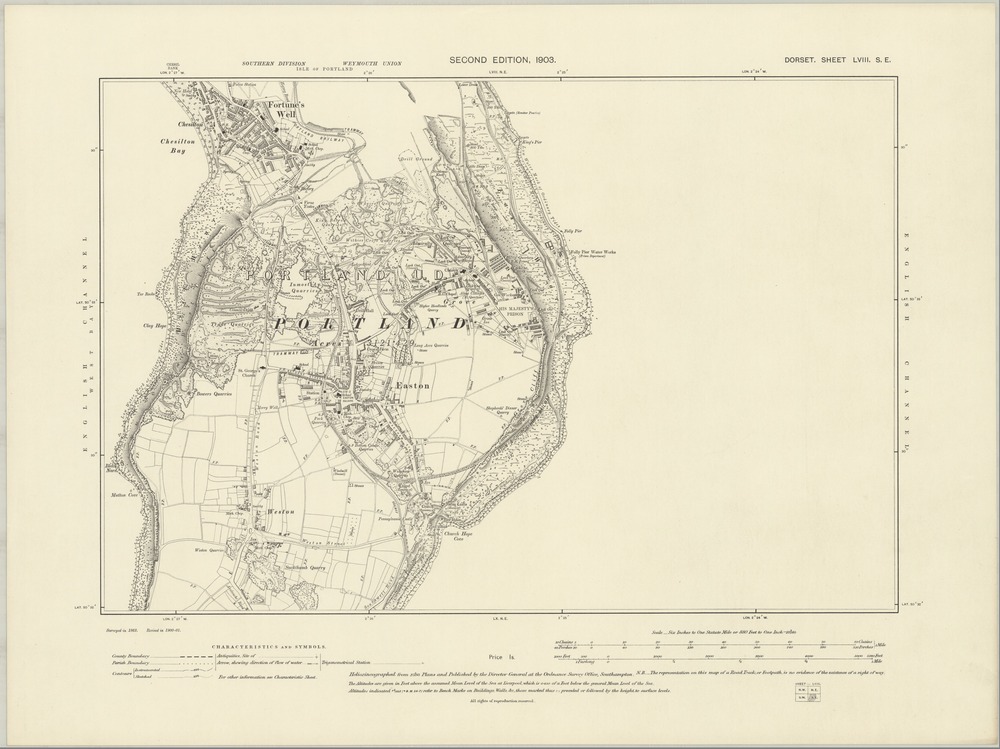
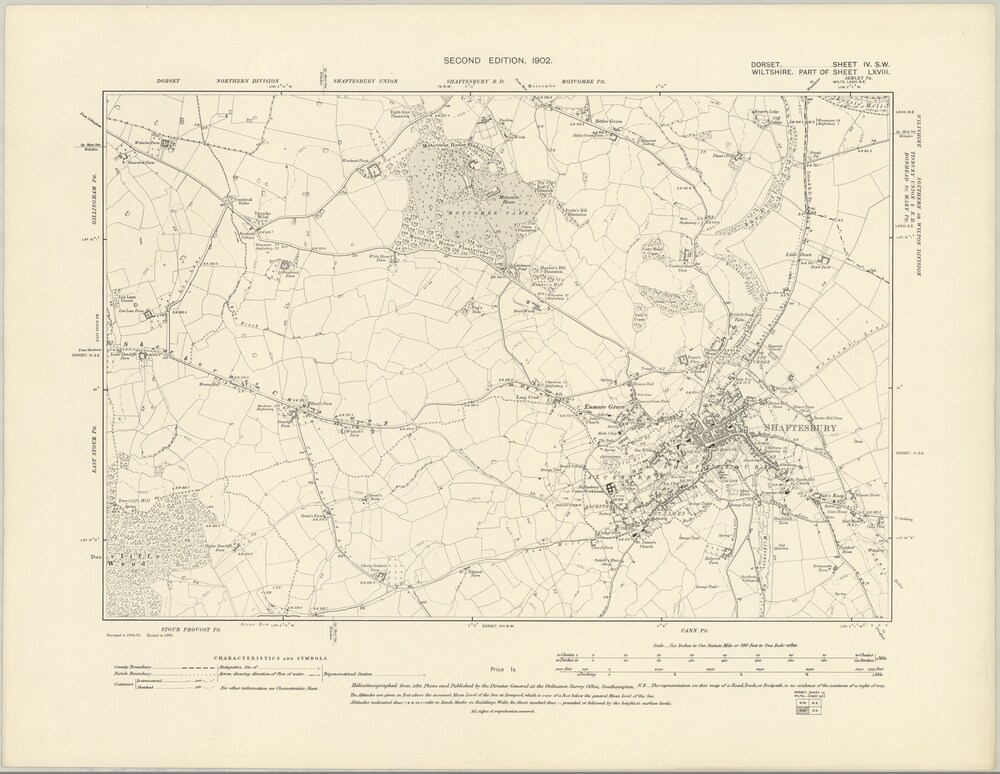
I’ve just added 575 map images of Dorset from the ‘Ordnance Survey Maps – Six-inch England and Wales, 1842-1952’ series to the map project.
Interesting places covered in Dorset update include:

And another 2026 map images from the ‘Ordnance Survey Maps – Six-inch England and Wales, 1842-1952’ series:
Interesting places covered in Lancashire include:


Interesting places covered in Warwickshire include:


I’ve added another 1108 map images:
422 maps from Cardiganshire.
686 maps from Cornwall.

Interesting places covered in Cardiganshire include: Aberystwyth, Lampeter, and Aberaeron.

Interesting places covered in Cornwall include: St Ives, Lands End, and St. Michael’s Mount
The National Library of Scotland has placed parts of it’s rather a nice collection of old maps online. It’s all very modern – slippy, google maps style pages abound – and predominantly released under permissive licences. It is not, however, easy to get a full map for reuse in a school report or similar.

So I’ve run up a little code, grabbed some of the maps and put them on a new sub-site here. These maps are licensed by the NLS (as opposed to being in the public domain) and this license has carried down to my derivative work. As of writing, there are only seven of them, but I have several hundred more ready to go up shortly and a block of several thousand more to go up at some point after that.