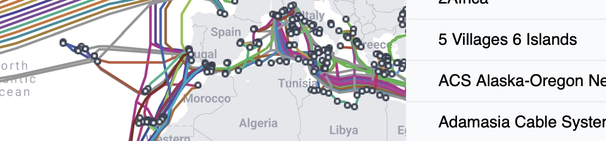
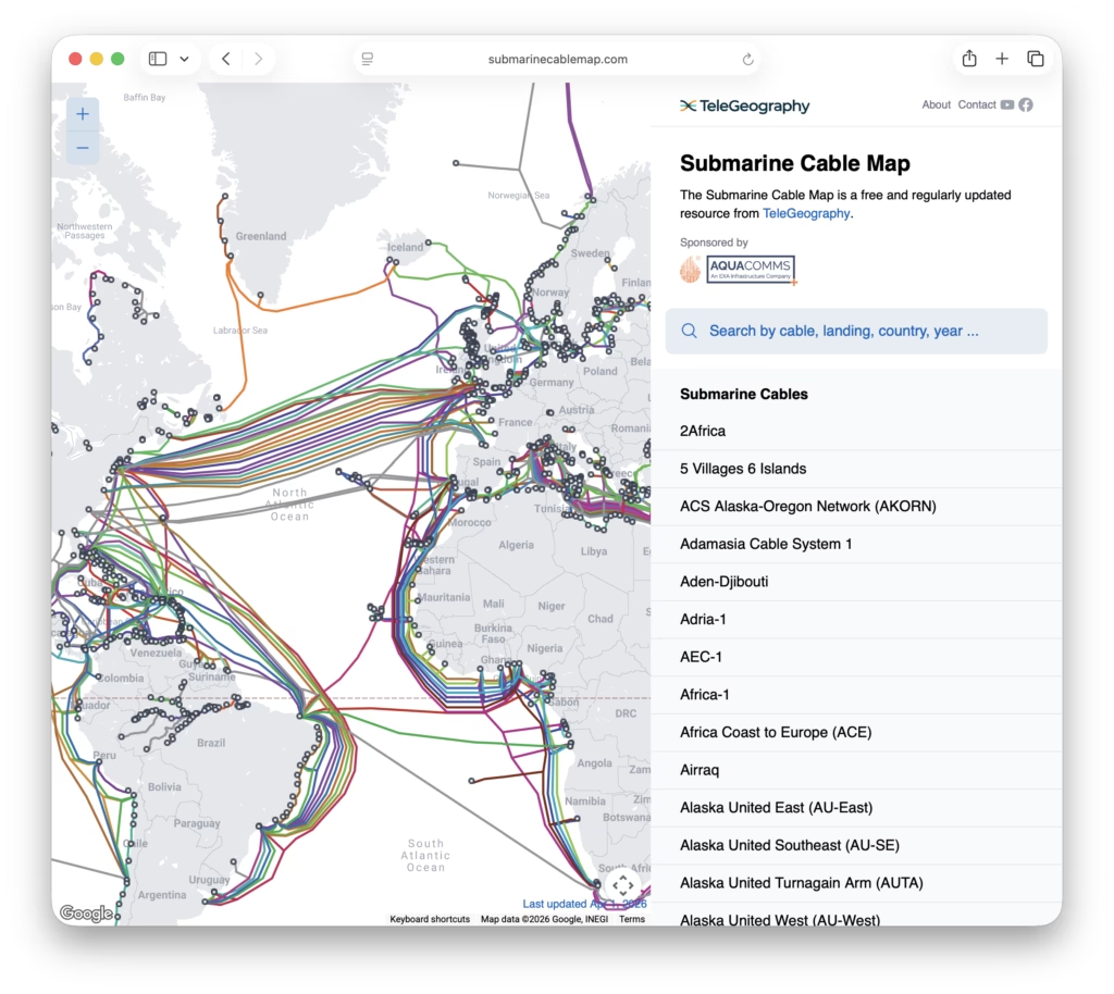
There’s a really nice map of underseas cables at, oddly enough, submarinecablemap.com. It’s interesting to see where they don’t run just as much as where they do.
A Little More Web Kipple
Maps! See the link to ‘Chris’ Maps Stuff’ on the right for an entire site of Maps!
There’s a really nice map of underseas cables at, oddly enough, submarinecablemap.com. It’s interesting to see where they don’t run just as much as where they do.
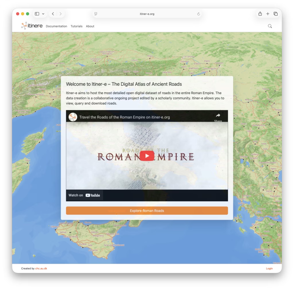
Itiner-e is a really nice open dataset and atlas of Roman roads. It’s interesting to look at where the paths of the Roman roads have survived long enough to become the foundations of today’s major routes.
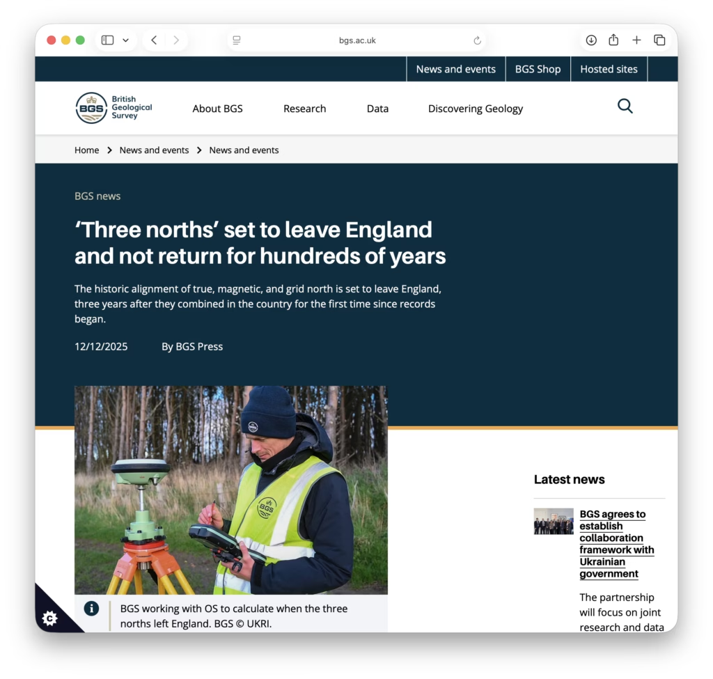
The British Geological Survey has an interesting article on the moving alignment of true, magnetic, and grid north and how it’s about to leave England for the next several hundred years.
]
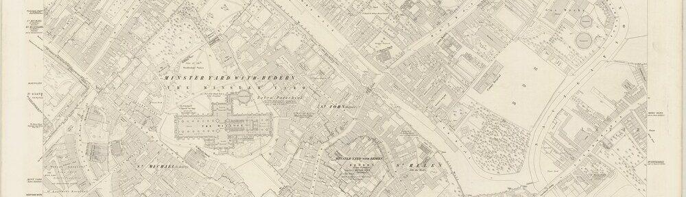
It’s time for another little update and this time it’s 238 Ordnance Survey maps of various towns and cities across North Yorkshire.
Interesting map sets include:

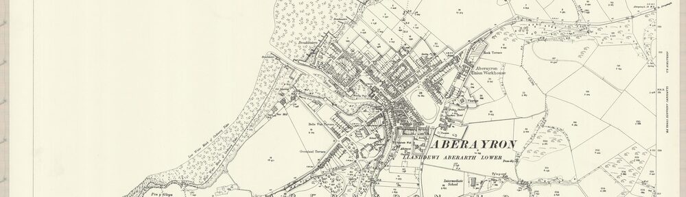
It’s time for another little update and this time it’s 182 maps of Cardiganshire taken from the ‘Ordnance Survey Maps – 25 inch England and Wales, 1841-1952’ series.
Interesting places covered this update include:

It’s been a little while since I’ve done one of these but… here are 511 additional map images of Northumberland (using the old Meridian) from the ‘Ordnance Survey Maps – Six-inch England and Wales, 1842-1952’ series.
Interesting places covered this update include:
/101026599/preview.jpeg)
I’ve added 572 additional map images of Brecknockshire from the ‘Ordnance Survey Maps – Six-inch England and Wales, 1842-1952’ series to the mapping project.
Interesting places covered this update include:

469 additional map images of Bedfordshire from the ‘Ordnance Survey Maps – Six-inch England and Wales, 1842-1952’ series.
Interesting places covered this update include:

454 additional map images of Bedfordshire from the ‘Ordnance Survey Maps – Six-inch England and Wales, 1842-1952’ series.
Interesting places covered this update include:

282 additional map images of Anglesey from the ‘Ordnance Survey Maps – Six-inch England and Wales, 1842-1952’ series.
Interesting places covered this update include:

And Holyhead