Another one from a decade ago (how?!?) – Radiohead’s Burn the Witch. Apparently there was a kerfuffle around the creation of a Trumpton-like music video – especially one shot through with Wicker Man references – but I think it works really well.
It has been more than a little while since I last did one of these – just over two years, in fact.
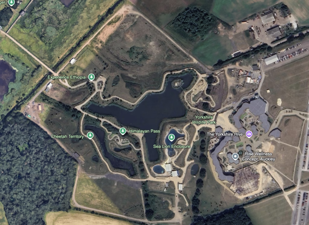
Aerial Photographs
Google Earth, image taken on 2025-06-17. Click to enlarge.
An updated arial photograph of the new section from 2025 – including all of the cheetah pens.
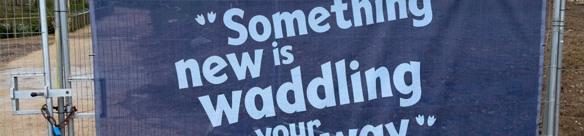
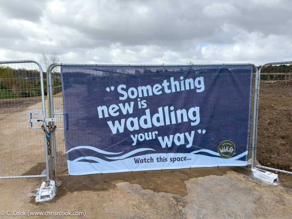
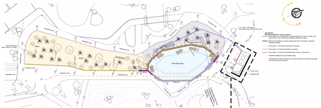
Application 25/02461/FUL: ‘Something new is waddling your way…’
Click to enlarge.
Status: In planning consultation whilst under construction.
Introduction
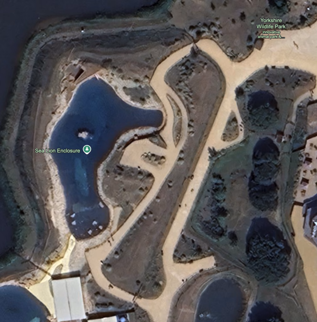
Google Earth, image taken on 2025-06-17. Click to enlarge.
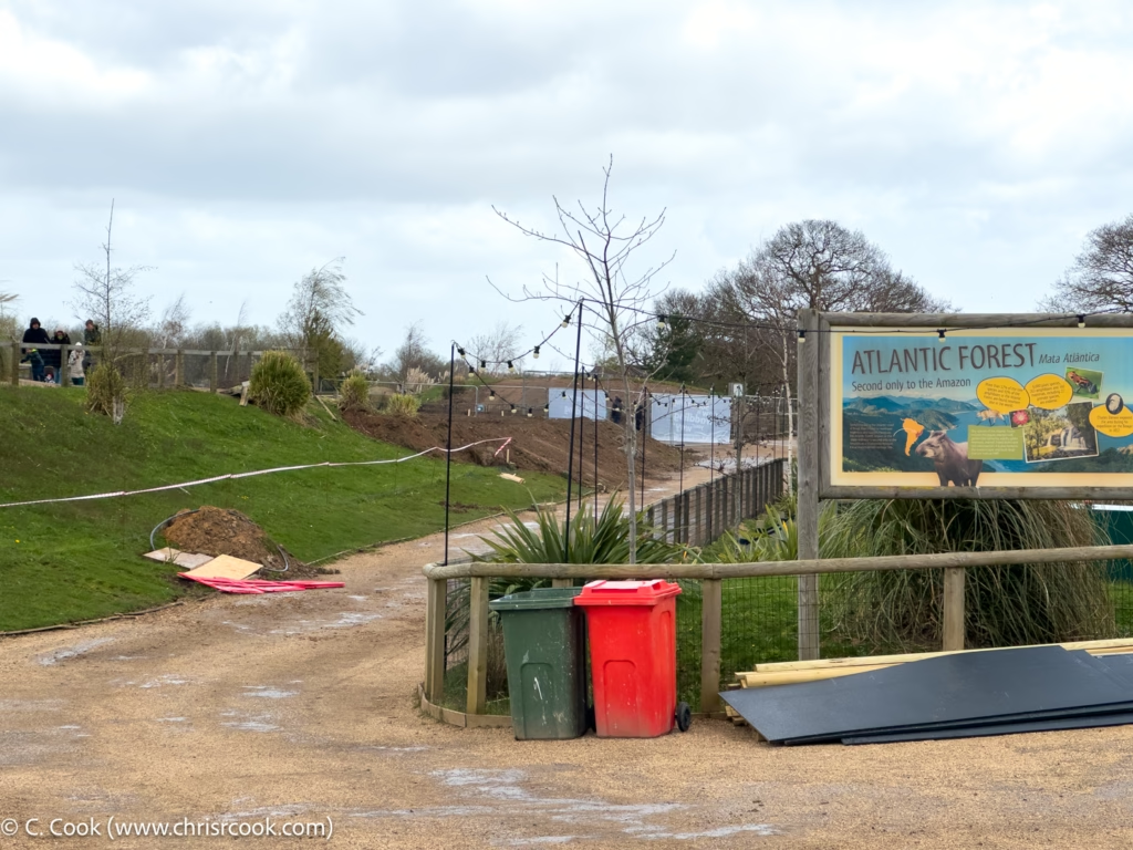
Set on the former embankment between the Sea Lion ponds and the Bush Dog enclosure, this (probable) new penguin enclosure is the first of the new construction projects a visitor will encounter.
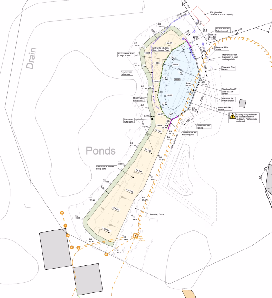
Plans
Click to enlarge.
A north aligned plan. To the north is the main entrance, to the west is the larger of the Sea Lion pools, to the east is the Bush Dog enclosure, and to the south is the Sea Lion house and water treatment works.
Click to enlarge.
Imagery
Click to enlarge.
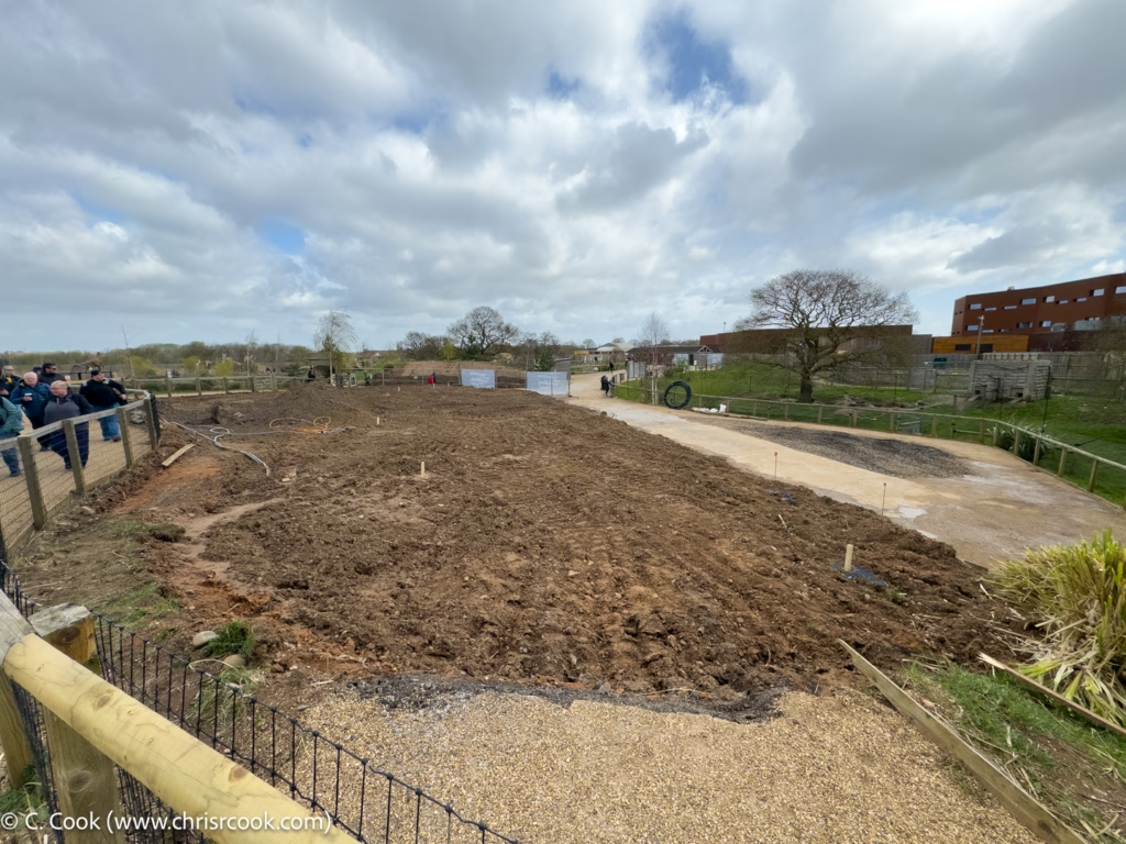
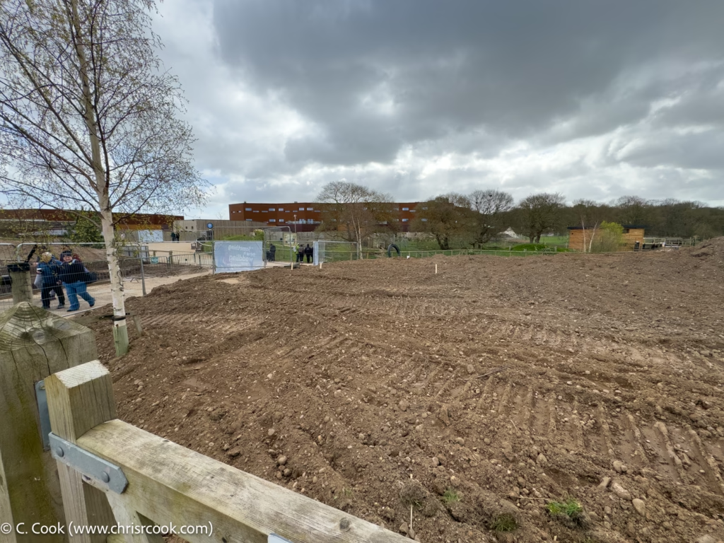
The south corner looking north. This will be the approximate location of the two-gated access ‘airlock’. To the top right will be a glass viewing wall that overlooks the pool.
Click to enlarge.
Looking north from the Point Lobos path. The future pool will be to the right of this view.
Click to enlarge.
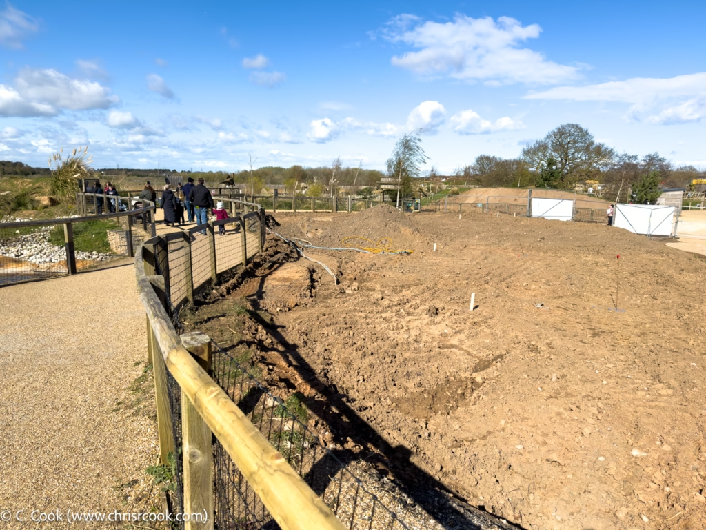
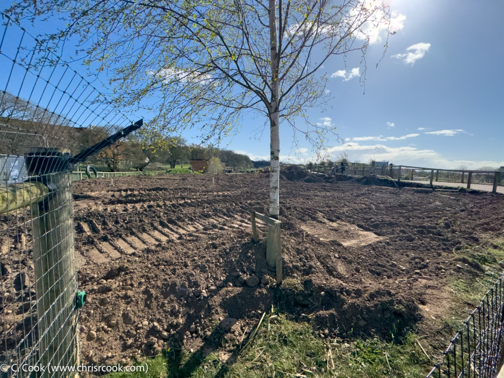
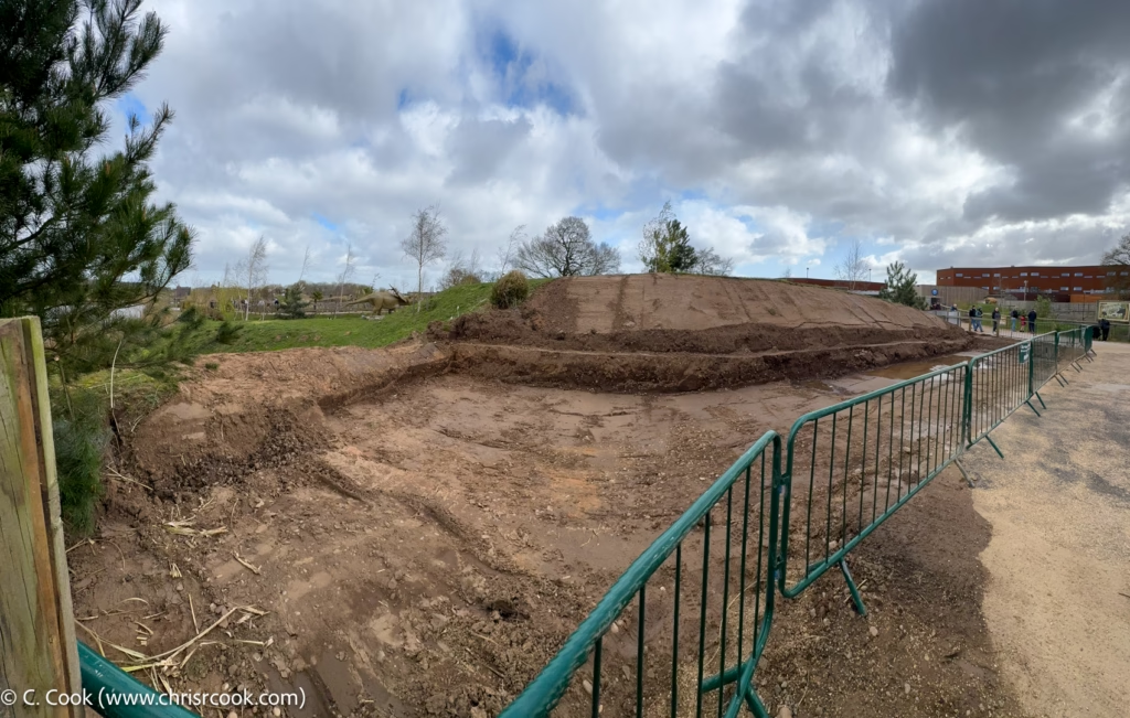
The north west corner looking south. On completion the pool will be to the left of the turned earth with a beach, buffer zone, and fence to the right.
Click to enlarge.
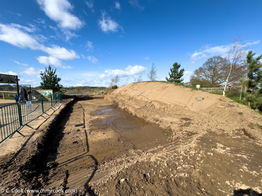
The north west corner looking north. The pool will be to the rear of this shot.
Click to enlarge.
The west side of the pump house and filtration plant plot. The hotel can be seen on the back right.
Click to enlarge.
East side of the pump house and filtration plant plot. Outflow and return pipes will run under the path to the left.
Click to enlarge.
‘Something new is waddling your way…’
While nothing has yet been formally announced, the pretty big hint on one of the fences means that we can reasonably assume that this enclosure will end up housing penguins or one form or another. It’ll be interesting to see if that turns out to be the case and, if so, exactly what species they house in there; given the size of the enclosure, it’s likely to be a smaller rather than larger variety.
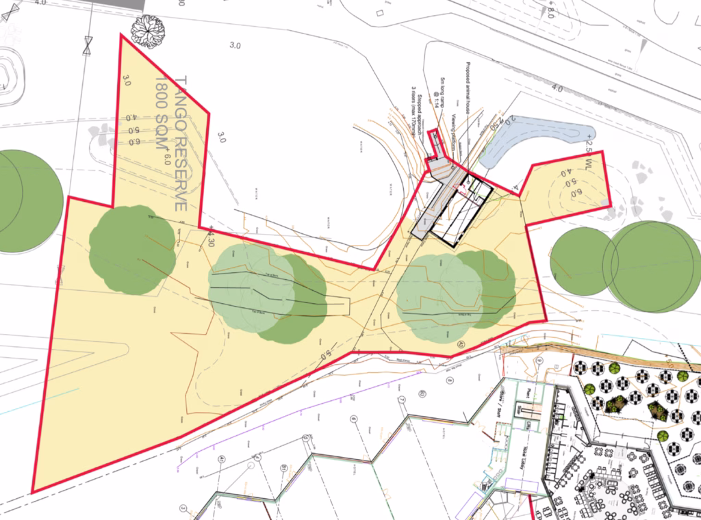
Application 25/02471/FUL: The Gibbon Enclosure and Building
Status: Recommendation and/or Committee
Introduction
Carved out of elements of the Bush Dog and Tapier enclosures, this new enclosure will be used to house a trope of Lar Gibbons.
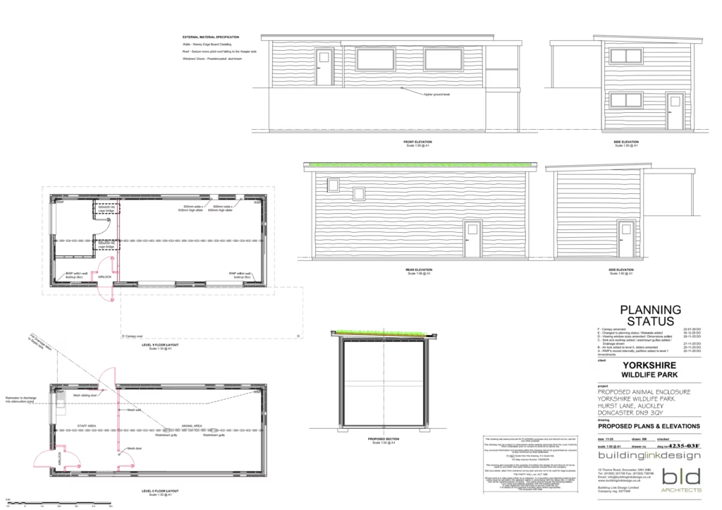
Plans
The enclosure. On the upper right there will be a new building for animal management and to provide a viewing platform.
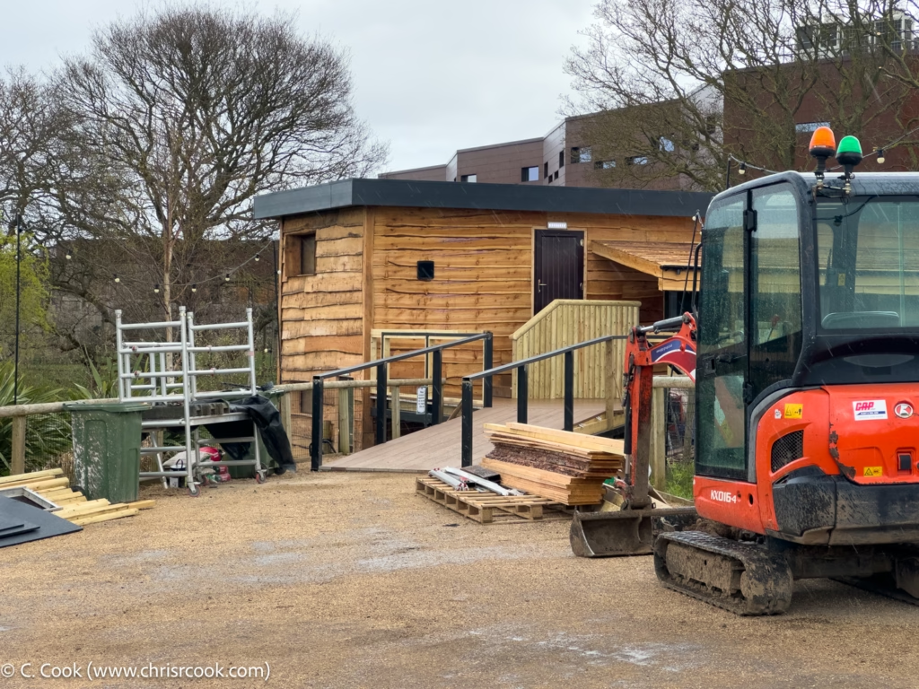
The new animal house. This is to be constructed out of clad shipping containers and will consist of a double height animal area with various access hatches for animal entry and exit. The public will be able to view the animals via the windows facing the viewing platform.
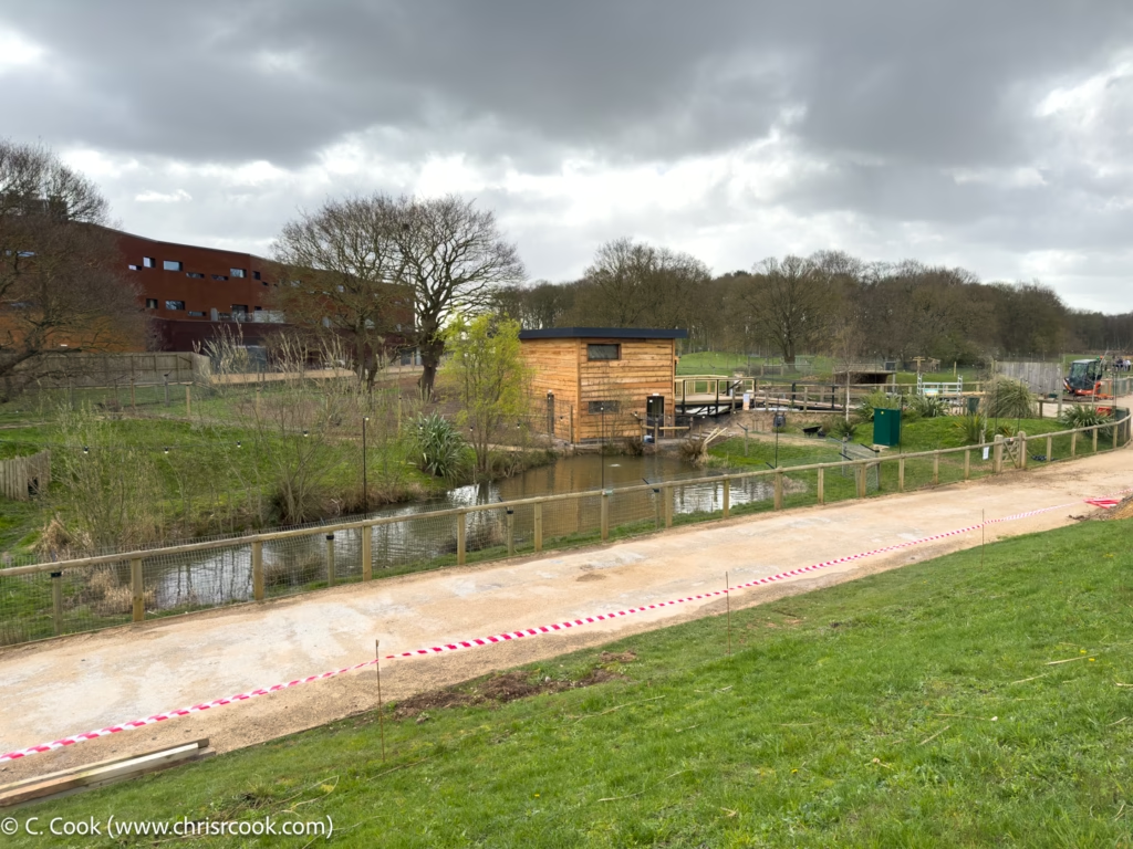
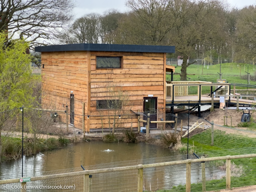
Images
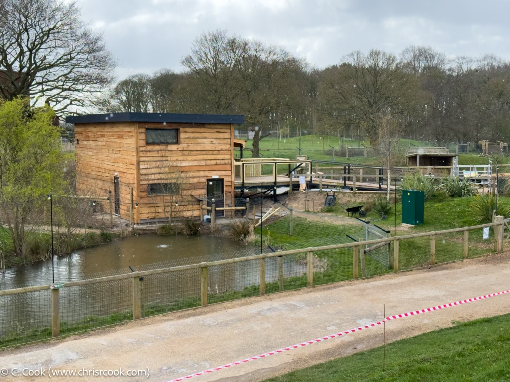
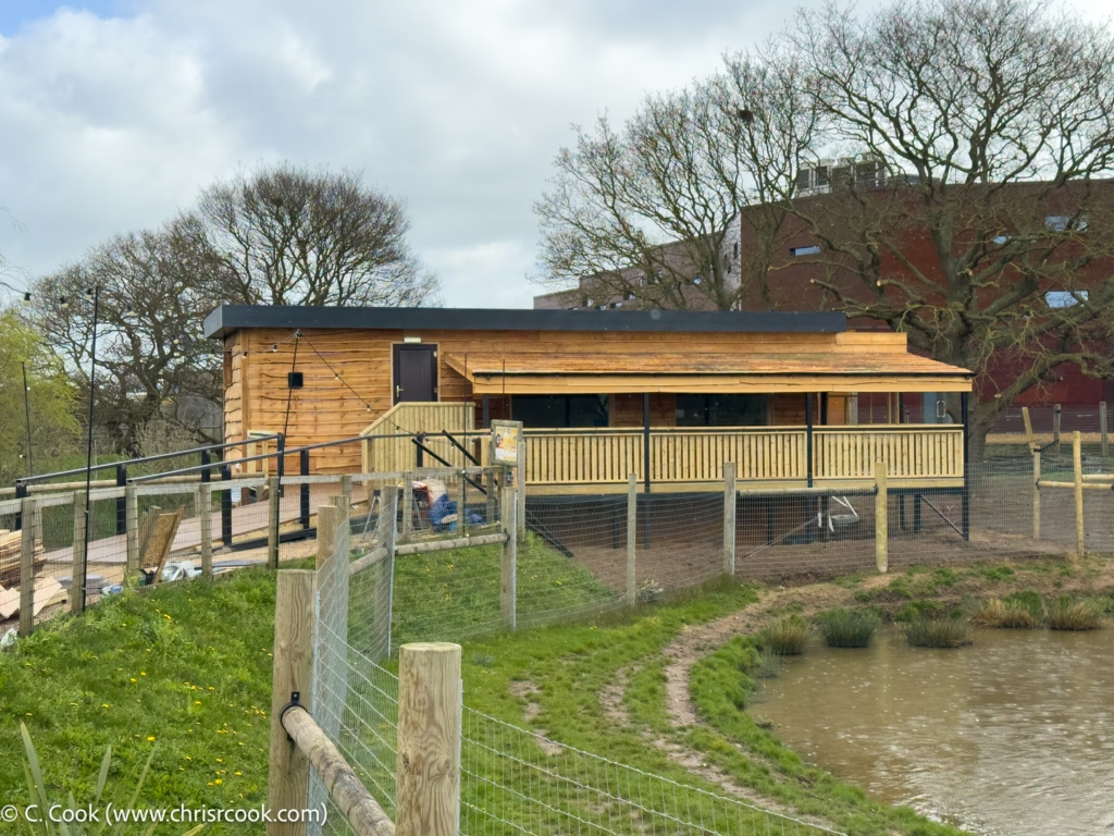
The new house from the Sea Lion enclosure viewing rise.
A closer look.
According to the enclosure plans, the gibbons will not have access to the pond in the foreground.
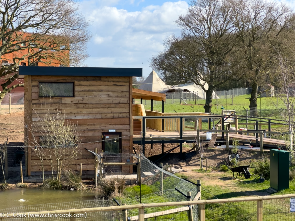
Another view of the animal house. Note the access steps for staff entering the building.
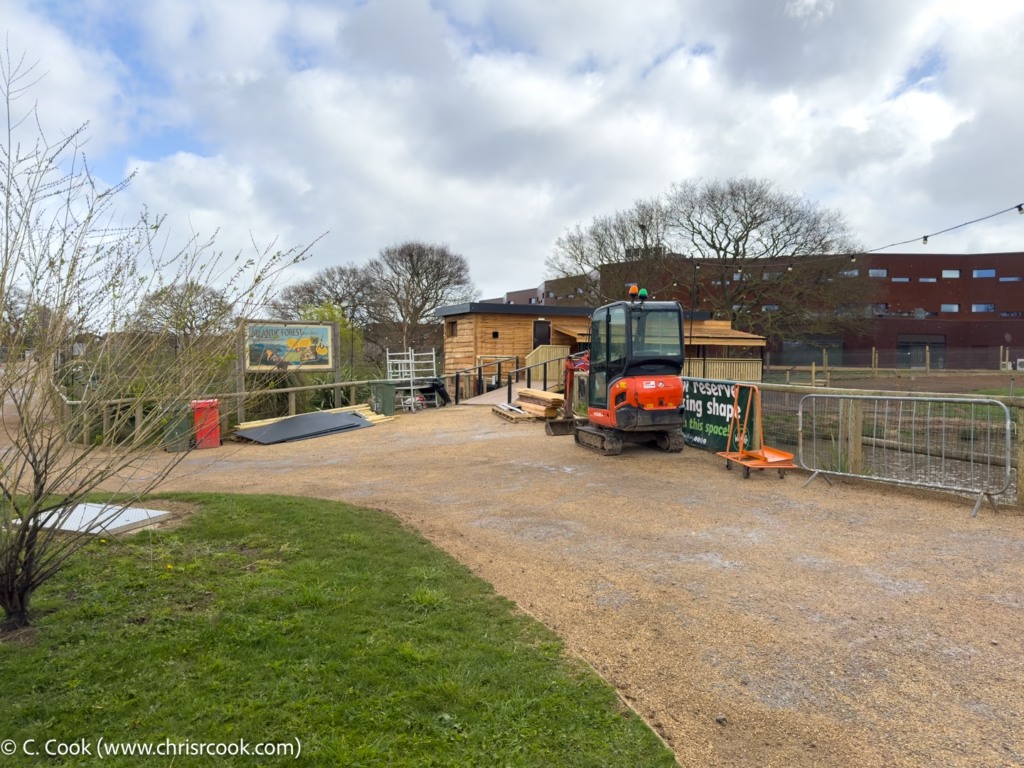
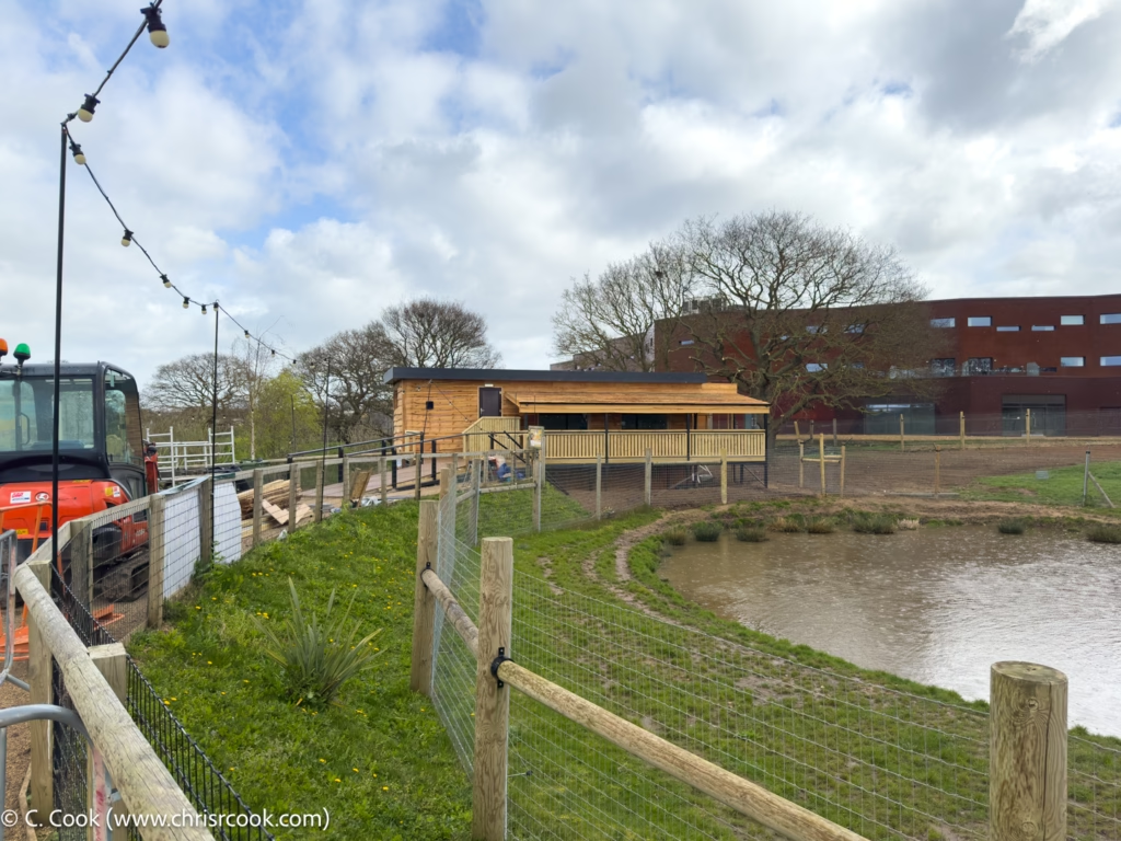
Construction equipment with the new animal house in the background.
The west end of the new animal house. Note the access ramp to the viewing platform.
The full viewing platform. Note the canopy to help keep the sun out of the south facing windows.
The site plans for the enclosure also note that the gibbons will not have access to this pond.
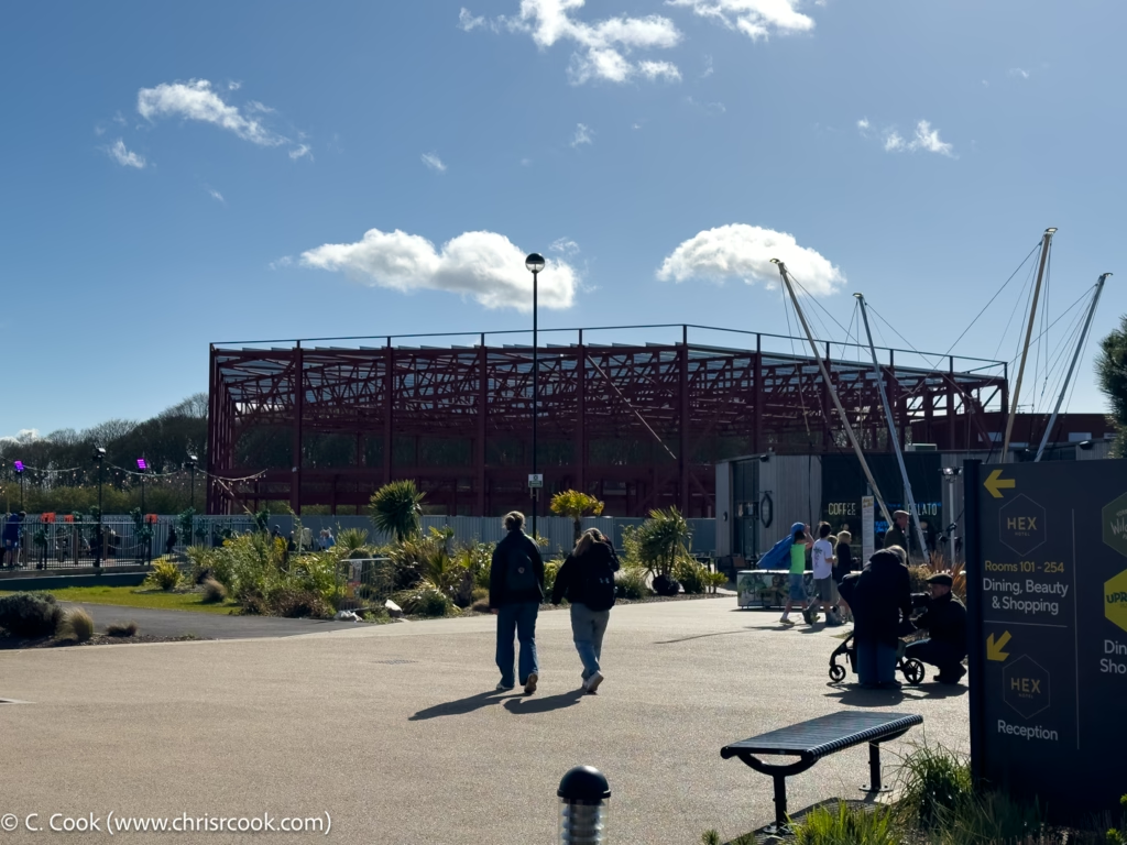
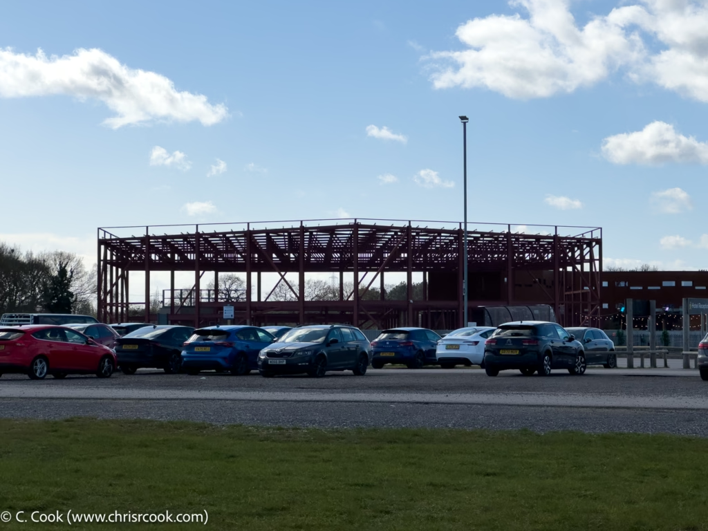
Hotel Extension
There has been no movement on the hotel extension with the frame remaining untouched.
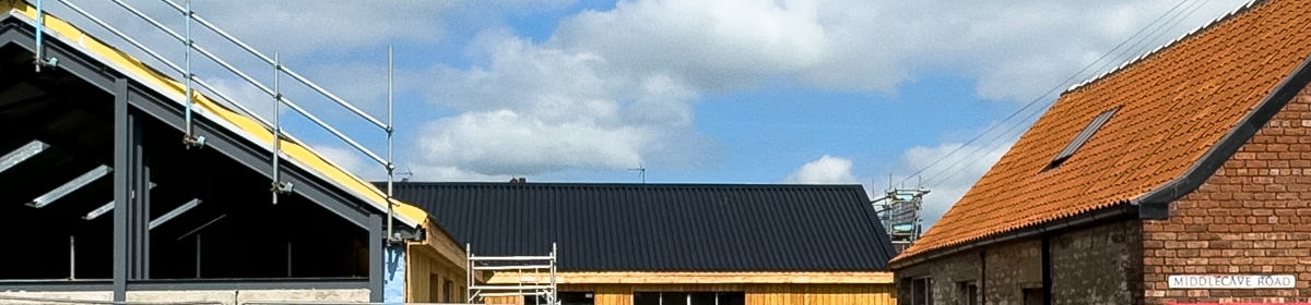
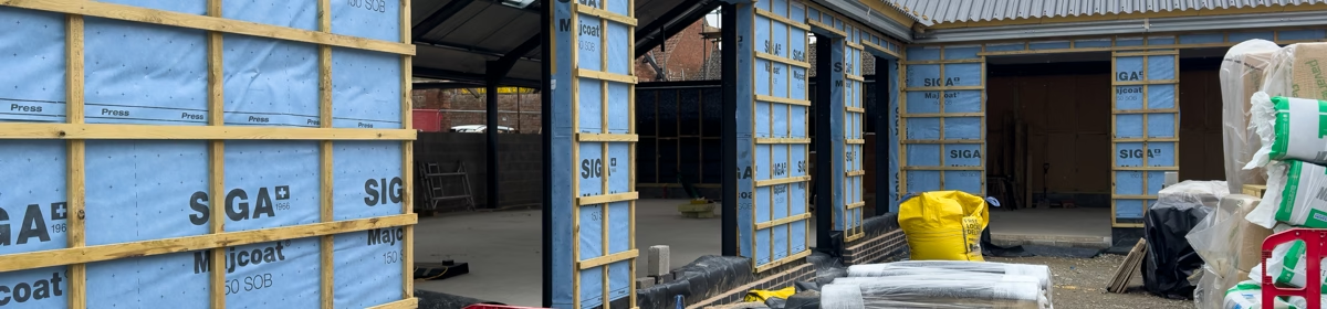
Insulation! Framing! Concrete Blocks! Breathable Membranes! Yes people, it’s time for another exciting look at the demolition and rebuilding of the former farm at Middlecave Yard!
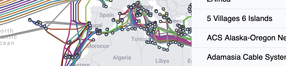
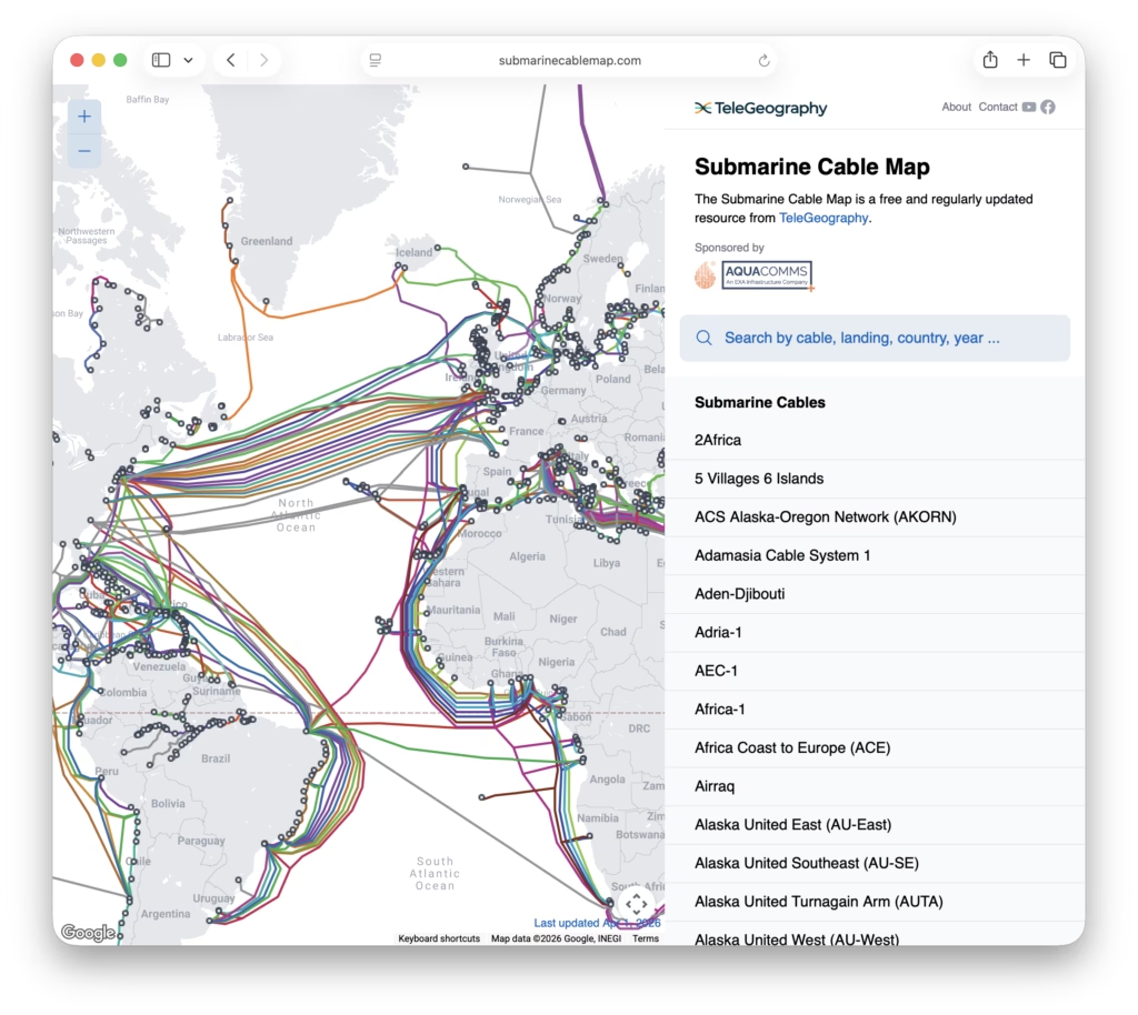
There’s a really nice map of underseas cables at, oddly enough, submarinecablemap.com. It’s interesting to see where they don’t run just as much as where they do.