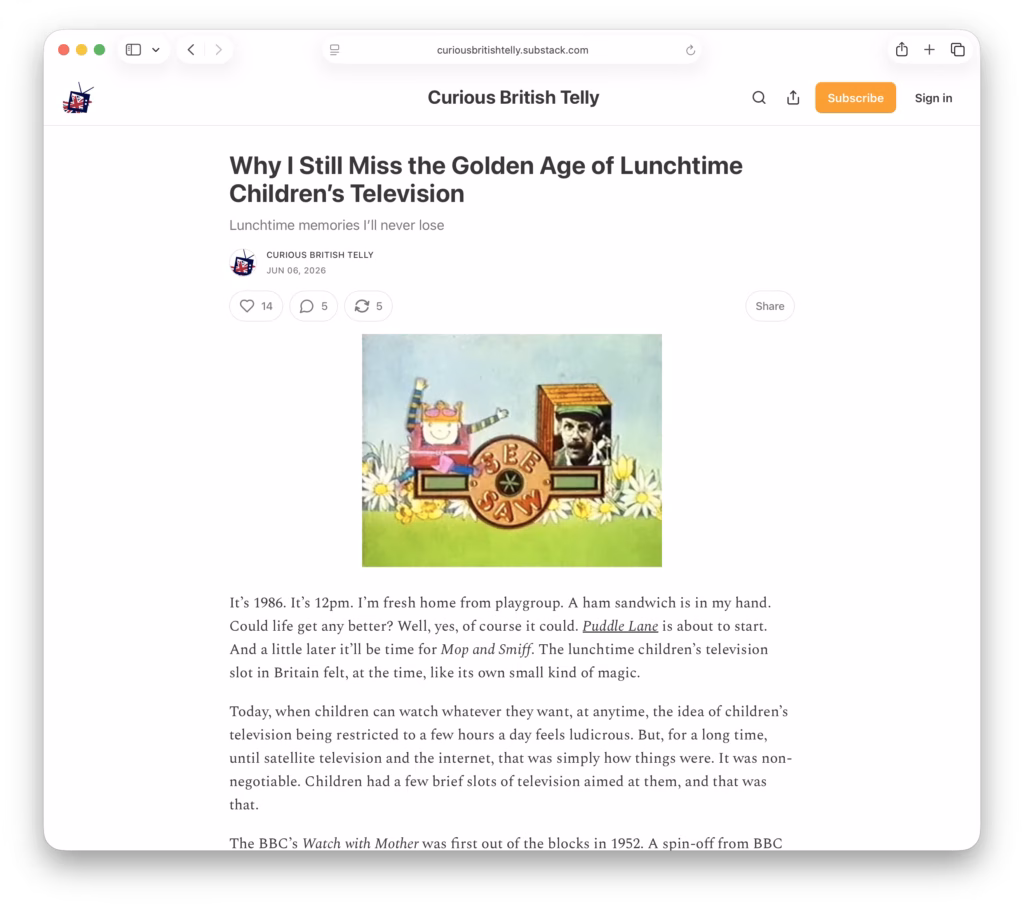
Over at CuriousBritishTelly there’s a nice short article of the history of children’s lunchtime TV – Why I Still Miss the Golden Age of Lunchtime Children’s Television.
A Little More Web Kipple
Over at CuriousBritishTelly there’s a nice short article of the history of children’s lunchtime TV – Why I Still Miss the Golden Age of Lunchtime Children’s Television.

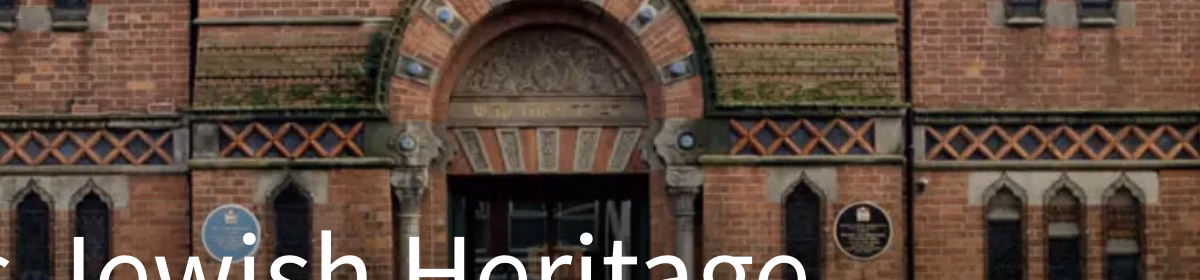
The Historic England Blog has a nice introduction to some of the buildings of England’s Jewish Heritage. It’s interesting and well worth a read.
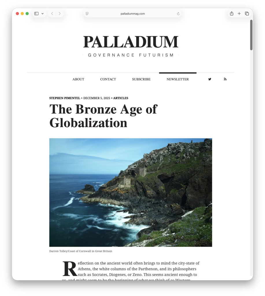
This is an interesting article on the Bronze Age trade in tin and copper in the Mediterranean, it’s subsequent collapse, and how the iron replaced copper, leading to the iron age.
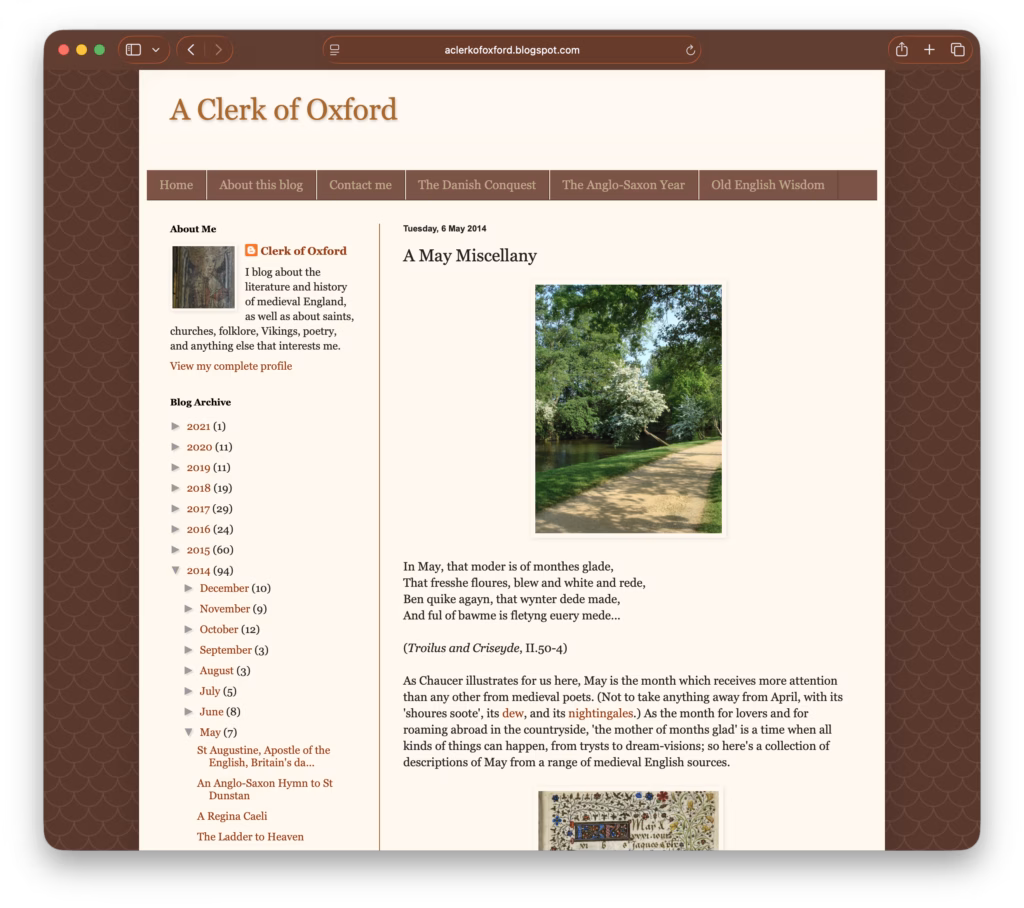
It’s the middle of the month and, after a little poking around, I’ve found a really interesting article at ‘A Clerk of Oxford‘ on May in Medieval poetry.
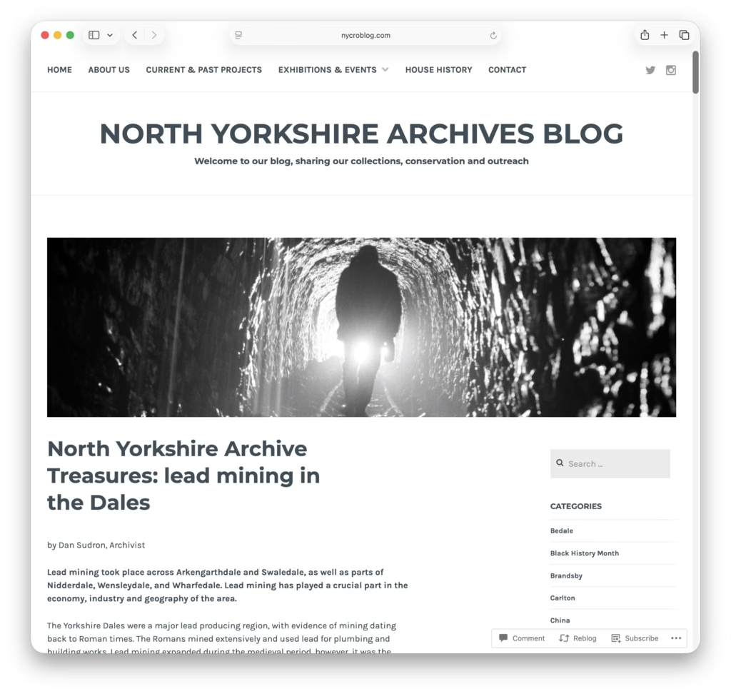
North Yorkshire Council’s Archive service has a really nice post up on the history of Lead Mining in the Yorkshire Dales.
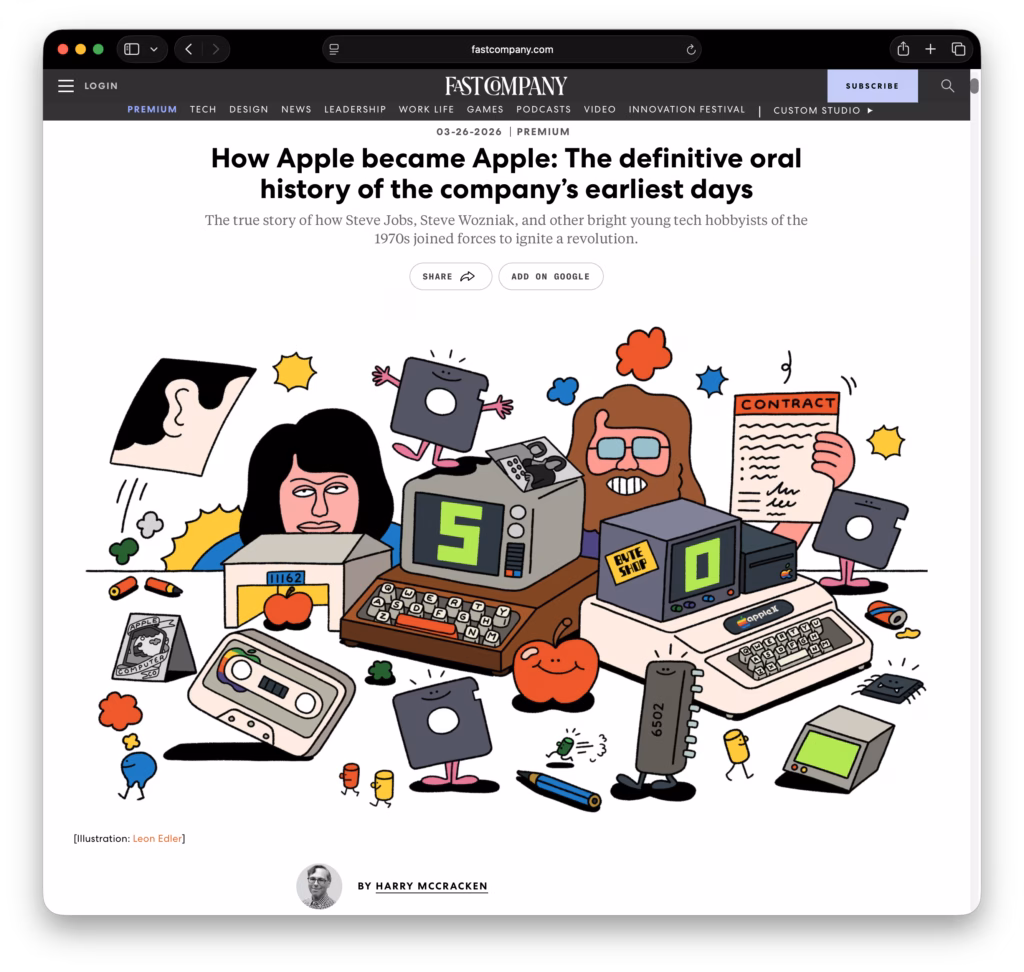
FastCompany has a really nice article on Apple’s early history.
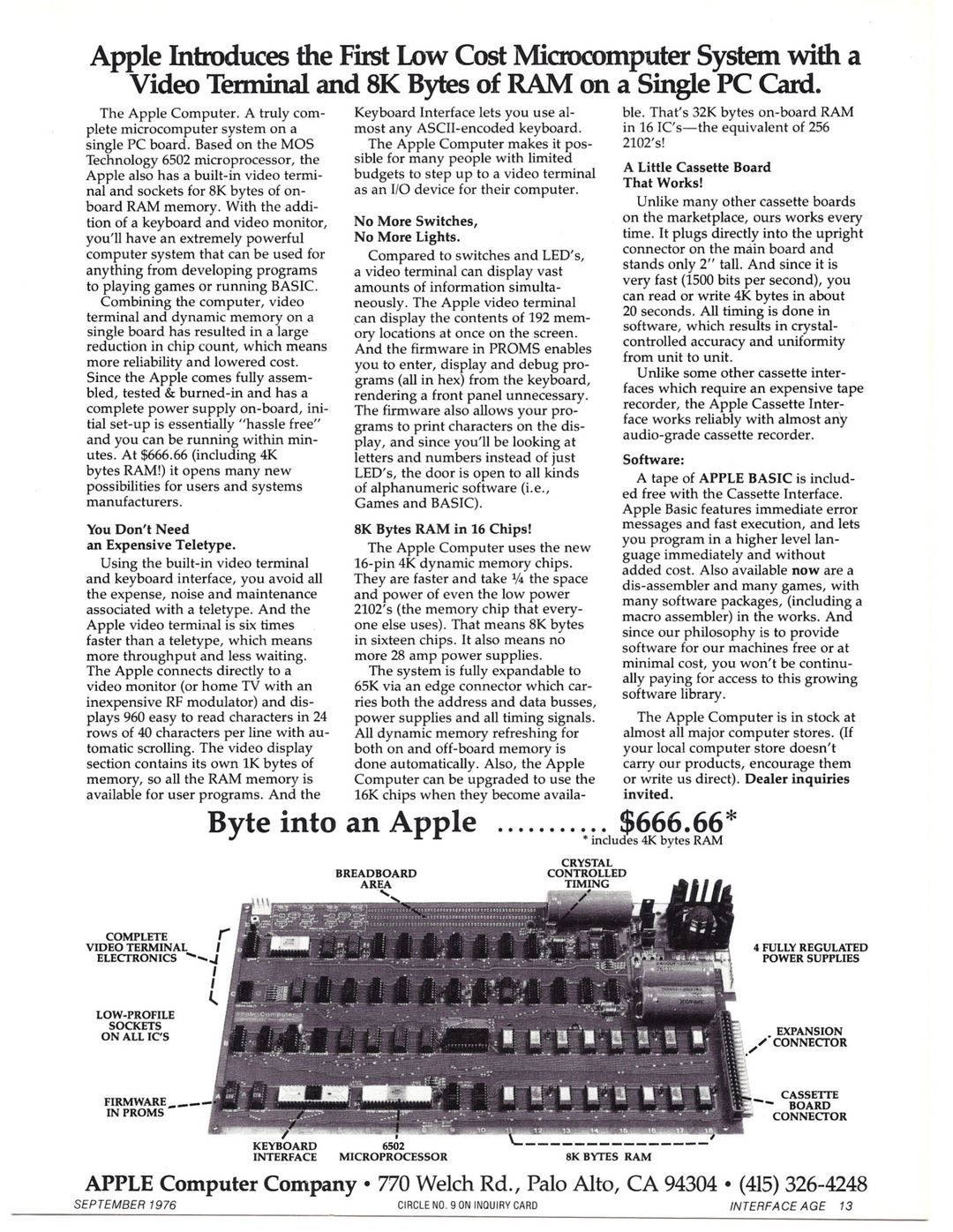
Retro Computer Adverts has a rather special post to celebrate the 50th anniversary of Apple’s founding; a look at their first – and probably most important product – the Apple 1.
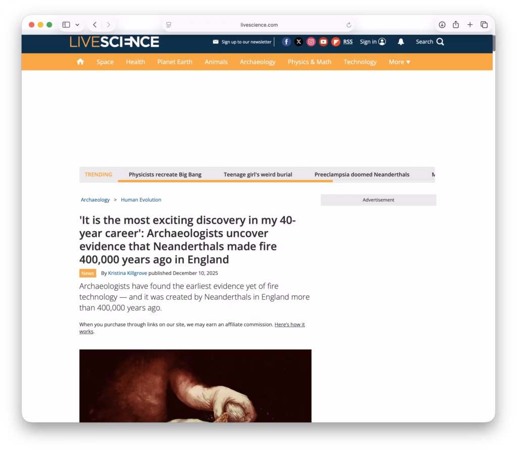
LiveScience has a nice article on the earliest discovery of human-controlled fire creation technology. Apparently 400,000 years ago the good people of Suffolk liked to sit around a nice warm fire!
And now for a slightly different tour of old York – York as seen by a visiting artist.
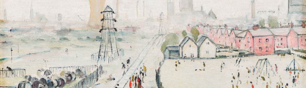
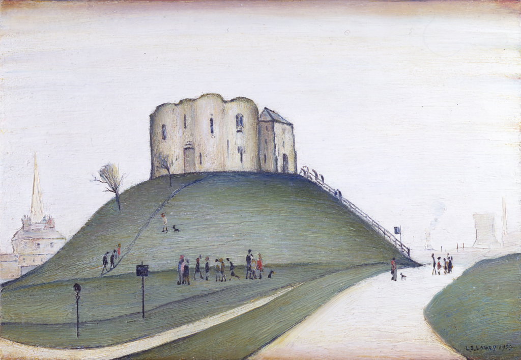
In 1952 the curator of York Art Gallery – Hans Hess – approached L. S. Lowry to paint a scene of York for the annual Evelyn Award. For this Lowry would be awarded the princely sum of £50 or – in 2025 money – around £1,250.
In the end, Lowery was to paint three images of York; two he offered to the art gallery to select from – ‘Clifford’s Tower, York‘ and ‘A View of York (from Tang Hall Bridge)‘ – and a third – ‘Wilson’s Terrace‘ – that he sold on to a private collector.
Of the two images offered to York Art Gallery, they selected ‘Clifford’s Tower, York‘ which, as of writing, can currently be seen in one of the upper galleries.
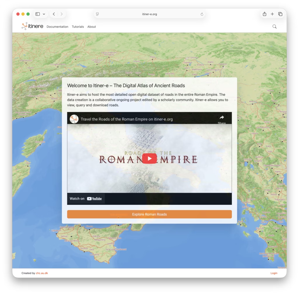
Itiner-e is a really nice open dataset and atlas of Roman roads. It’s interesting to look at where the paths of the Roman roads have survived long enough to become the foundations of today’s major routes.